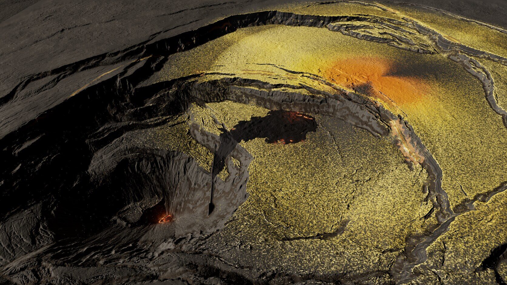
Io / 2019 USGS lidar / Hawaiʻi
Kīlauea patera
Kīlauea’s collapsed summit becomes a patera: measured terraces, authored lava activity, simulated sulfur deposits.
Planetary heightmaps, volcano lidar and glacier scans become playable landscapes. A look inside the data, code and review loop behind Helios.
Io / Kīlauea patera — Earth lidar, authored volcanic activity and simulated deposits.
Research measured terrain that has the shapes the map needs. Review hillshades, heightmaps and scans.
Blend measured relief, place scan modules and add procedural systems. Preserve scale and record each transplant.
Claude builds tools and scene code. Fixed camera screenshots guide concrete revisions and the game port.
Three Io scenes, two textured Europa game ports, three Moon regions and a Martian fissure field. The Moon additions include textured native galleries and measured-base viewers; the Tranquillitatis pit and Io/Mars scenes have full browser demos. Drag live scenes to orbit and scroll to zoom. Desktop WebGL2 is recommended. Full scan detail means a first load can be large.
Io / 2019 USGS lidar / Hawaiʻi
Kīlauea’s collapsed summit becomes a patera: measured terraces, authored lava activity, simulated sulfur deposits.
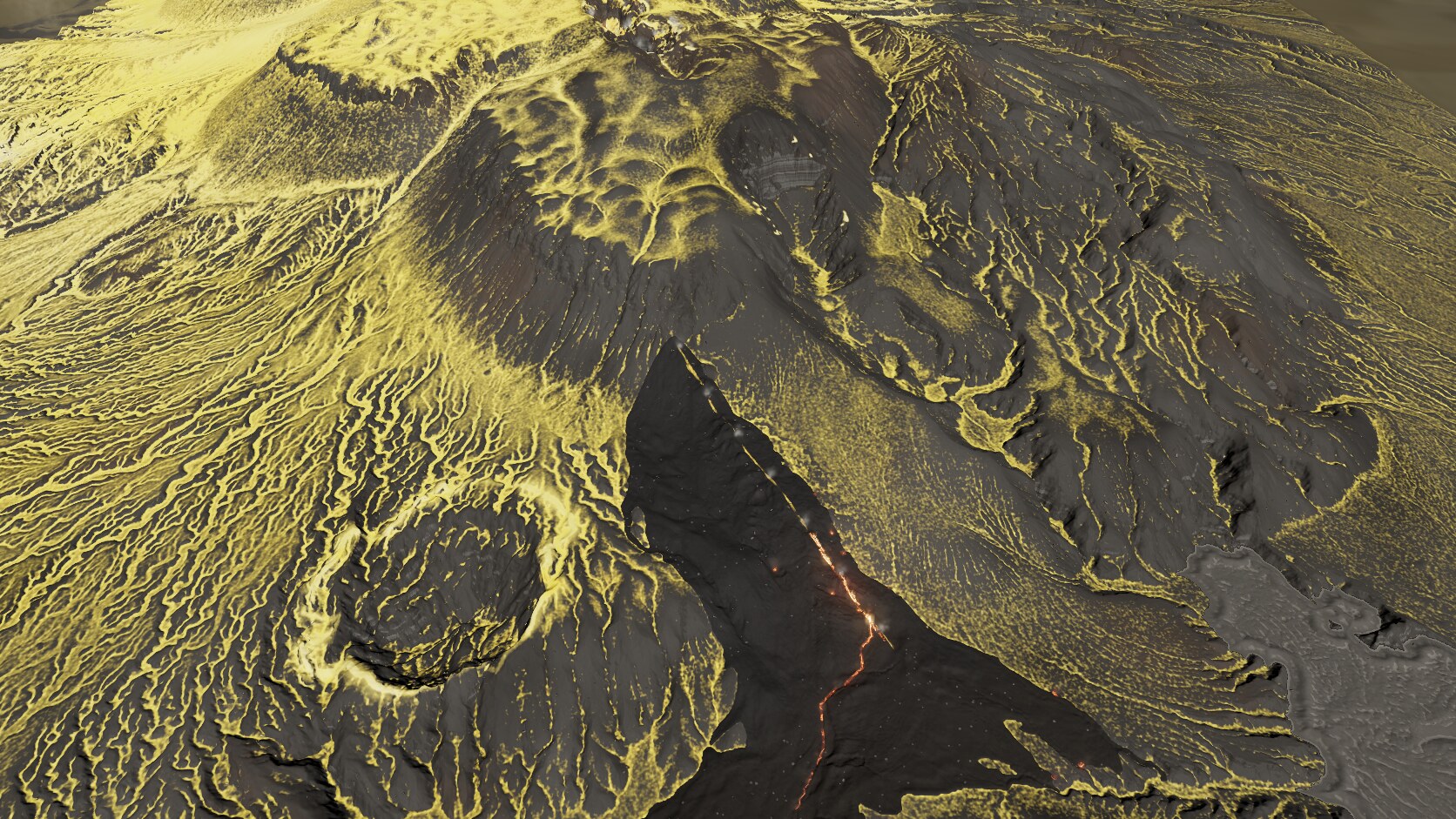
Io / 1 m LINZ lidar / New Zealand
Tarawera’s fissure chain supplies the structure. Lava fountains, flow composition and sulfur dressing give it an Io identity.
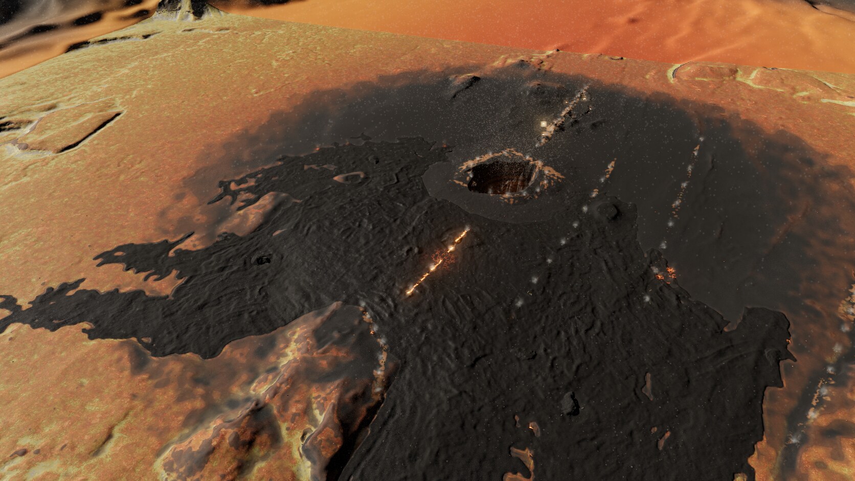
Io / 2 m ArcticDEM / Iceland
Krafla provides the caldera. Transplanted pits, cones and flow relief meet procedural plume fallout and lava emission.
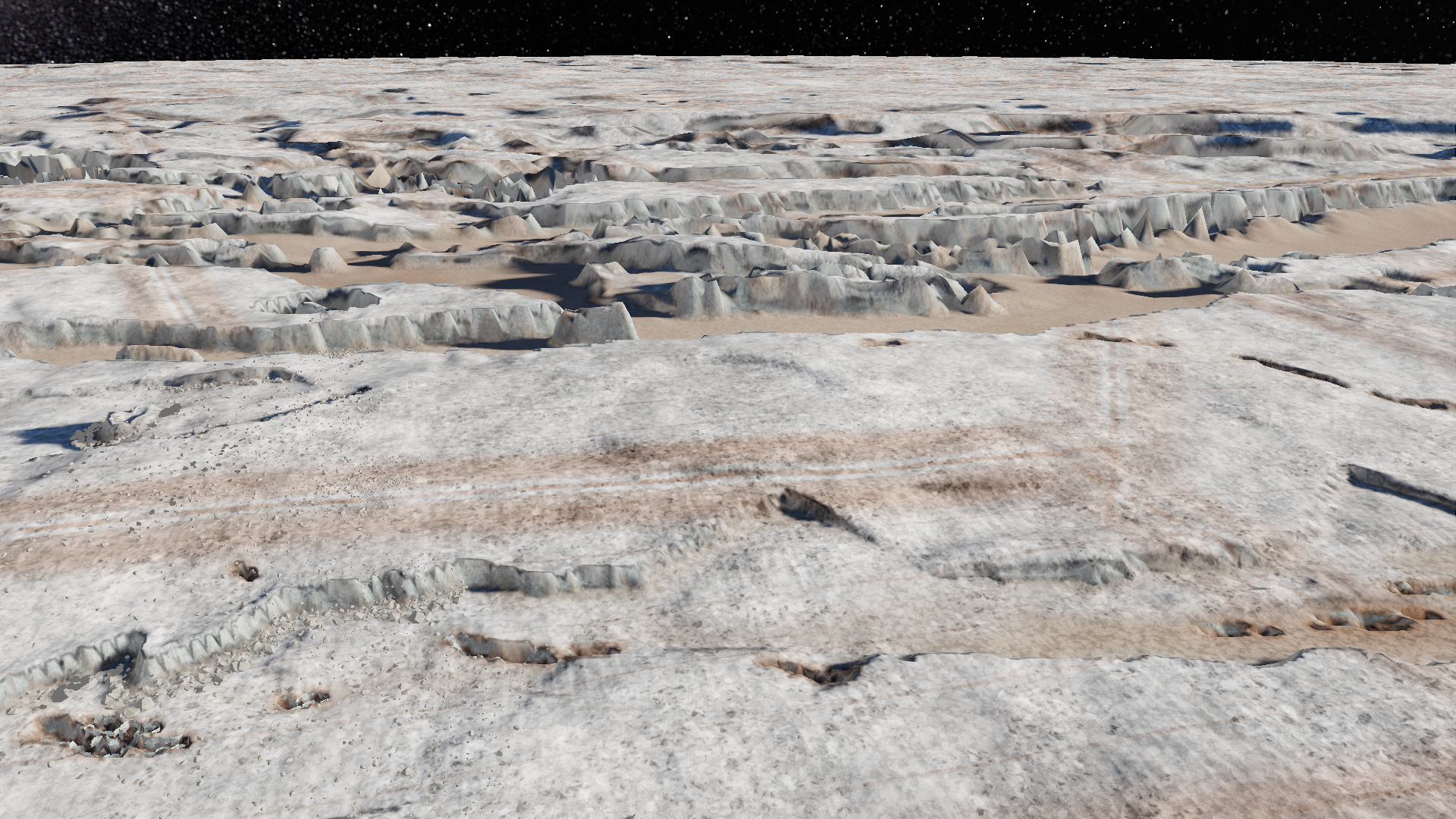
Europa / Needles lidar + Cable Mountain scan
The later textured game port: measured graben rhythm, scanned ice walls, fissures and distinct plain materials.
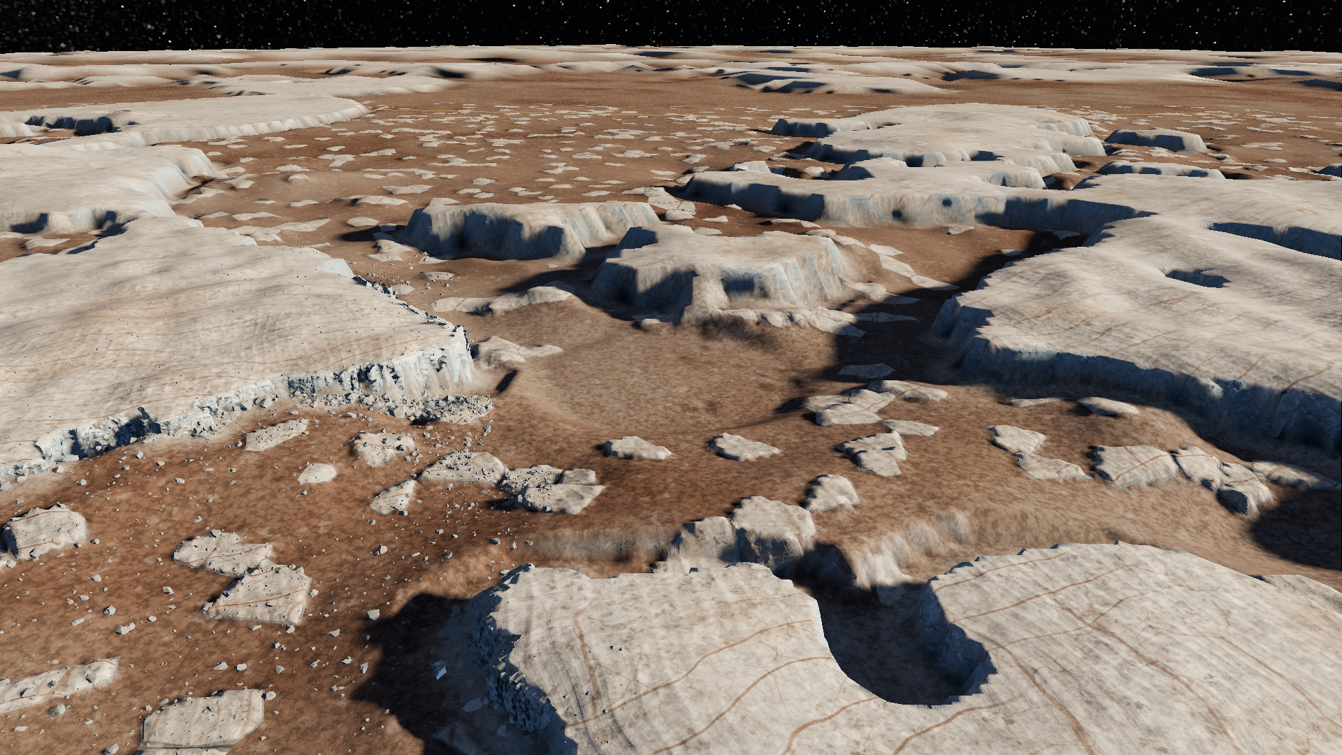
Europa / Galileo DTM + terrestrial cliff scans
The accepted textured game port: real plate layout, jointed scan walls, salt crust, ice blocks and baked relief.
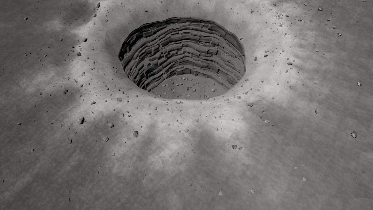
Moon / Kaguya TC + LROC NAC / Moon
Measured mare relief and transplanted lunar features. The shaft and overhang are authored from pit measurements.
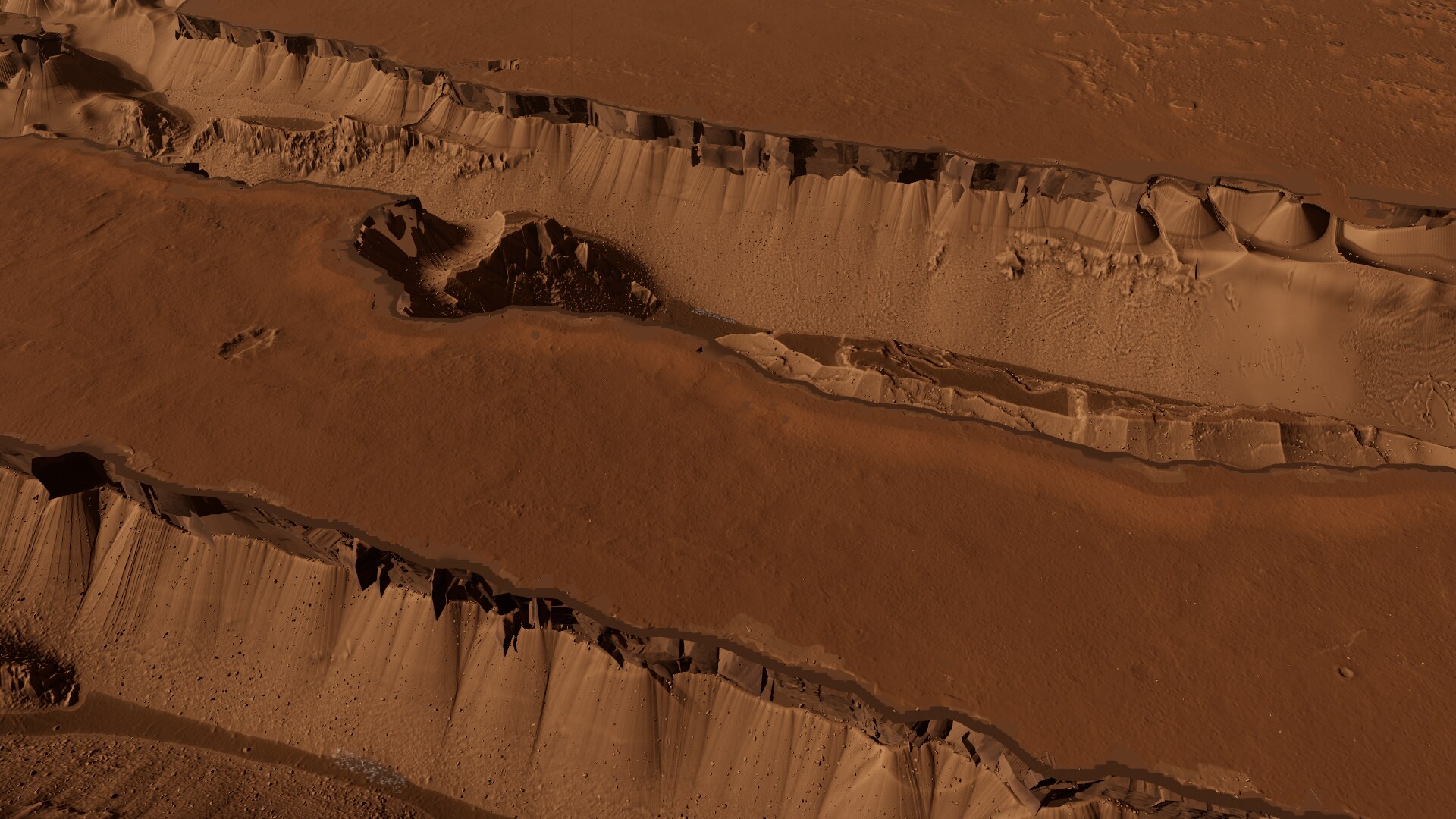
Mars / HiRISE + CTX / Mars
Stereo topography supplies the fissures; scanned wall modules add faces a heightfield cannot describe well.
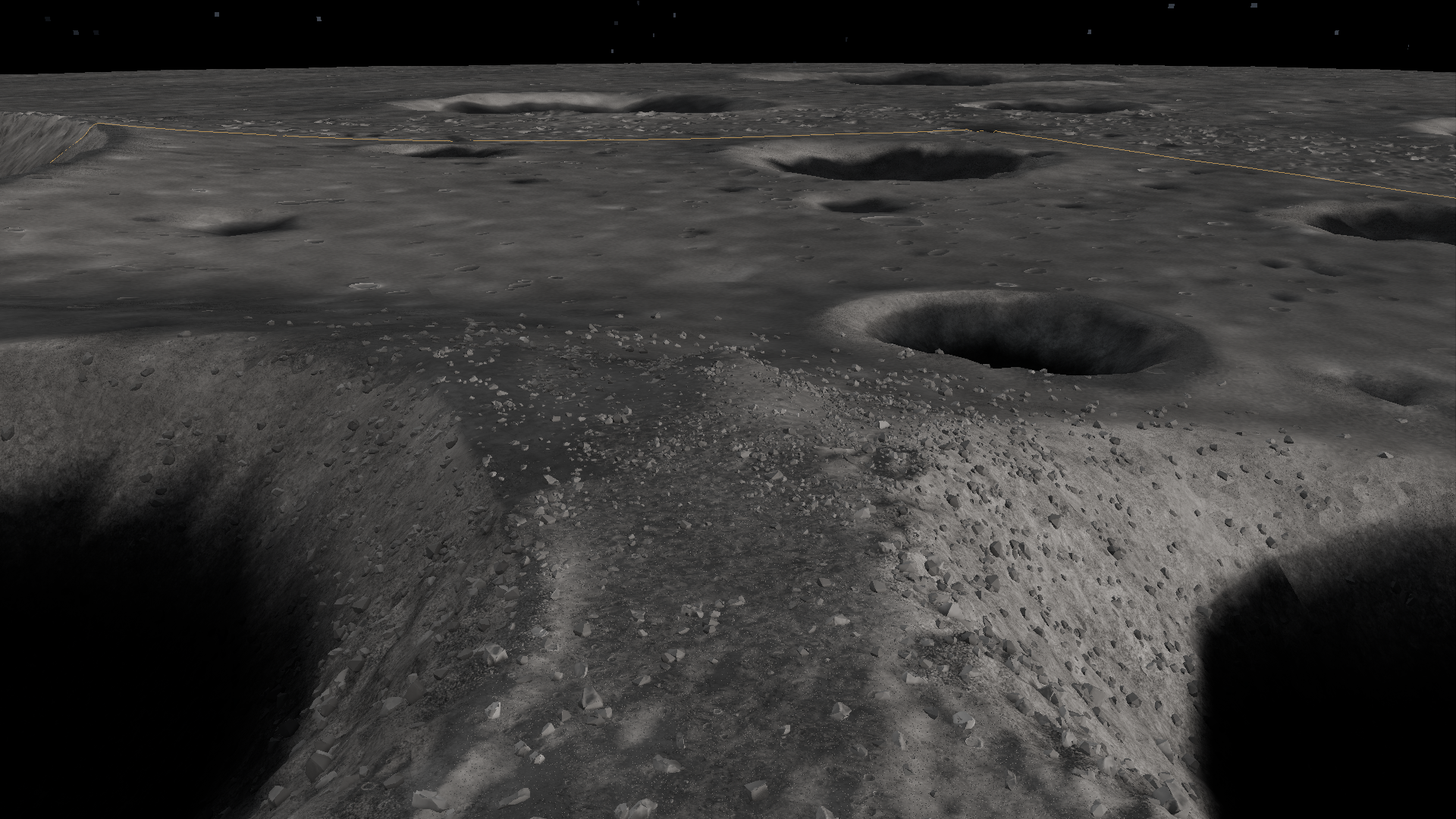
Moon / LOLA + authored landforms + photographic detail
Sunlit polar ridges and shadowed crater basins. Measured large-scale relief supports authored terraces, cold traps and construction sites.
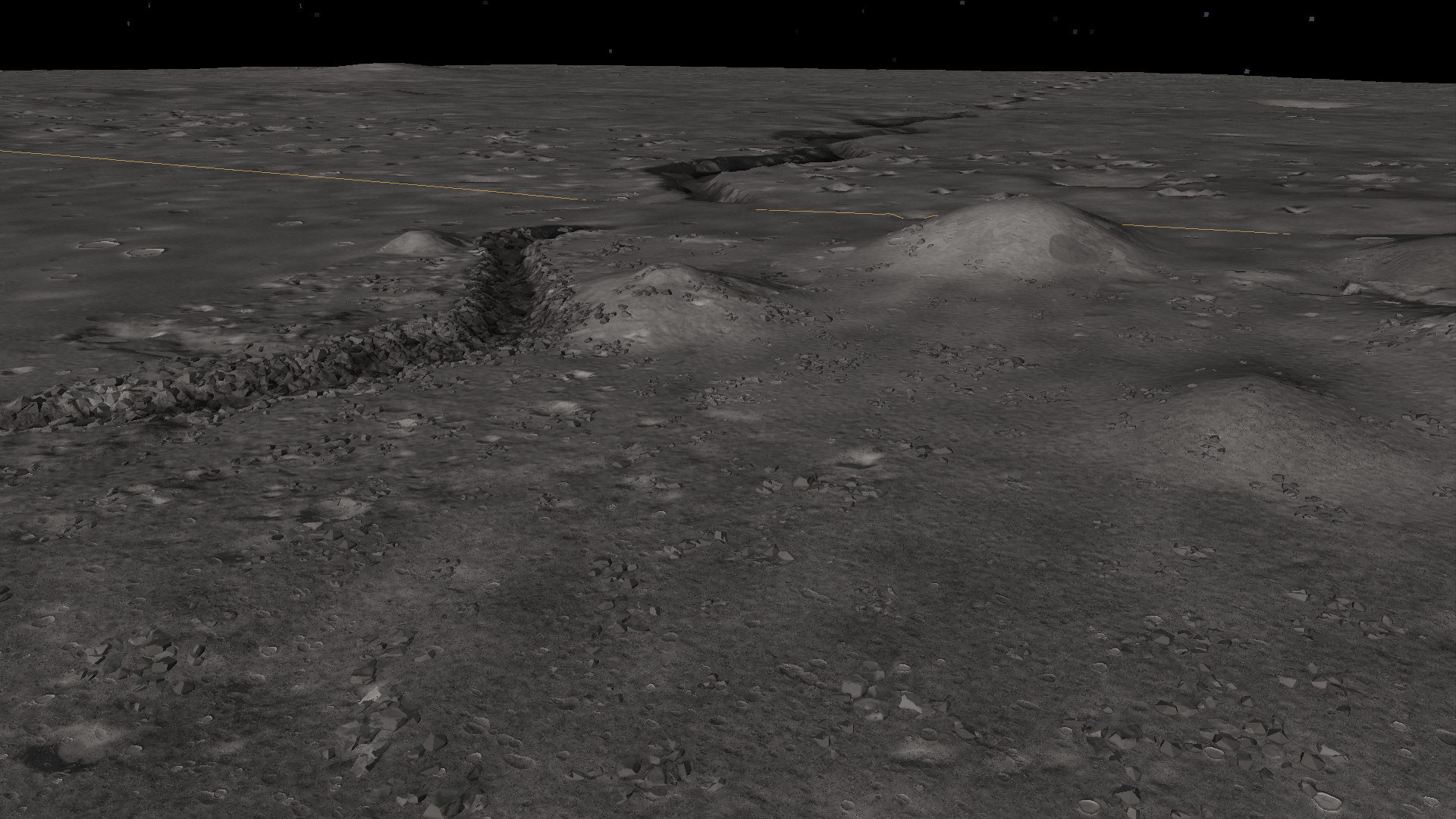
Moon / LOLA + authored landforms + photographic detail
Measured mare and dome-field relief with an authored sinuous channel, pit, crossing spans and boulder-lined banks.
This is a selected showcase, not a release of the entire game or raw scan archive. Original code retains its upstream MIT notice. Browse the source repository on GitHub. The final license for new showcase code/documentation remains undecided.