Selected cards from the original Claude research session. These are source candidates, not a claim that every source shipped. Credit corrections and verification are recorded in the current attribution page.
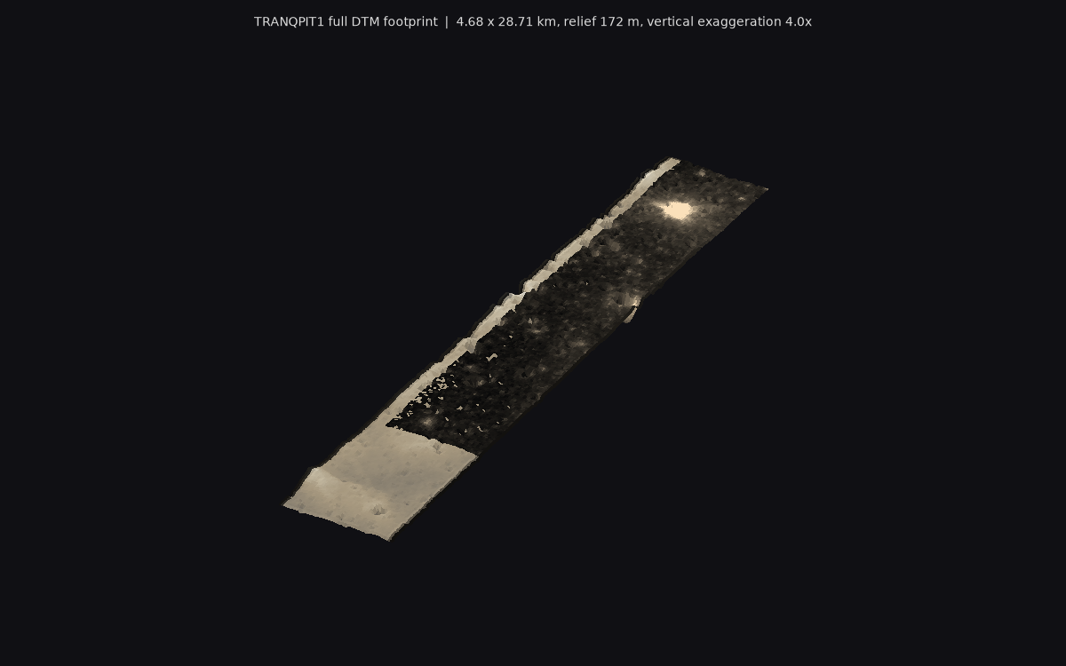
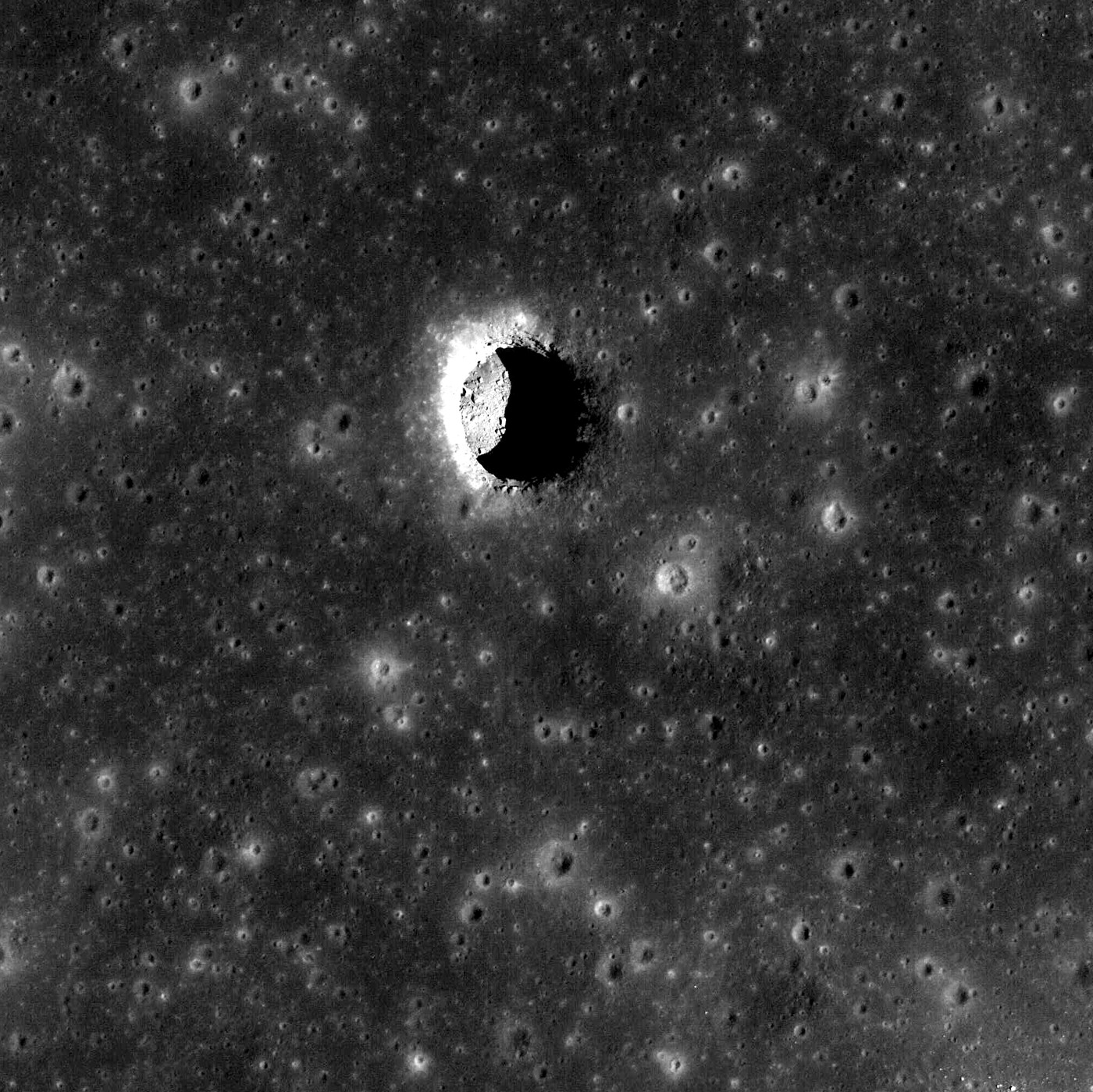
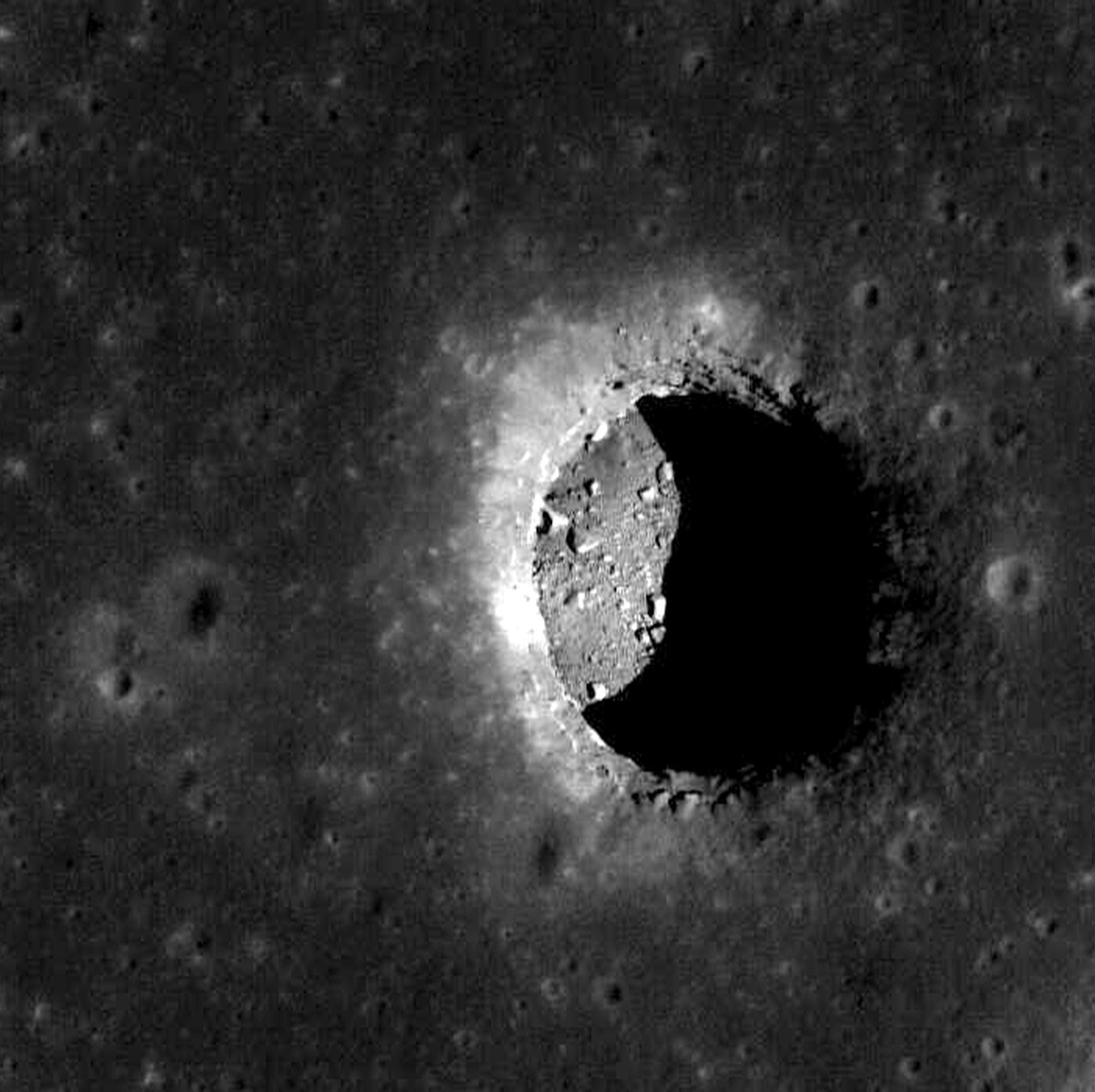
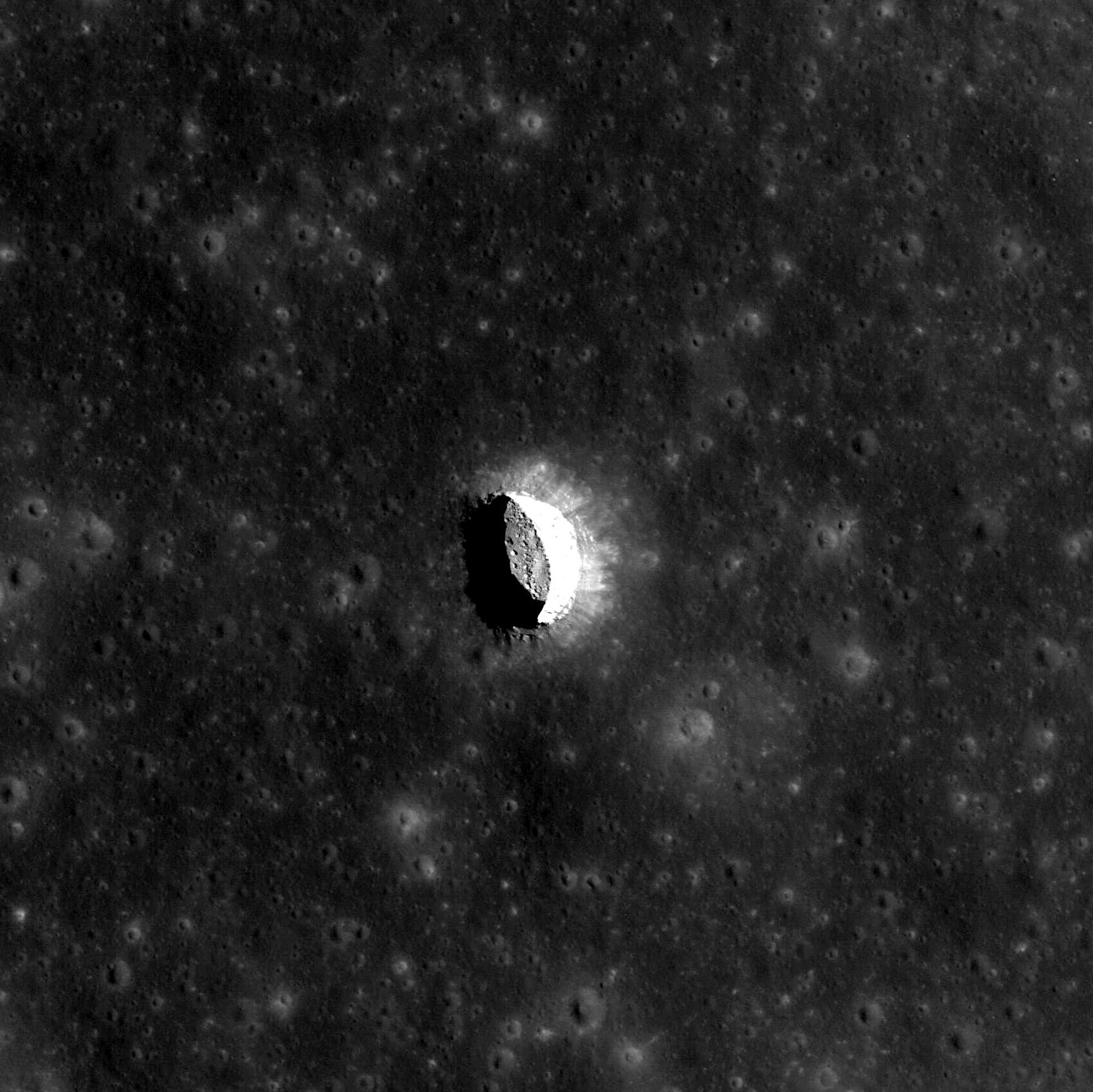
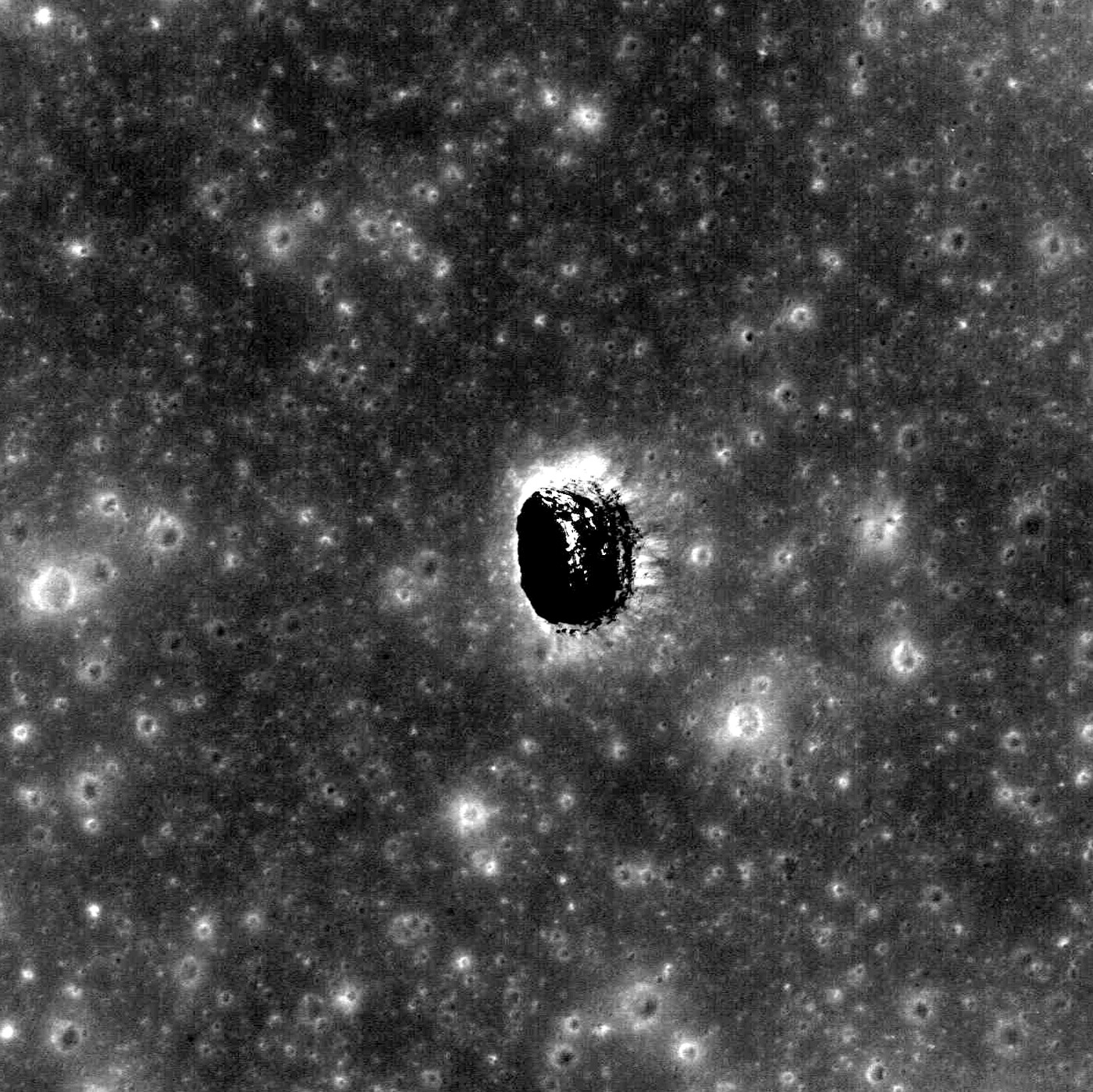
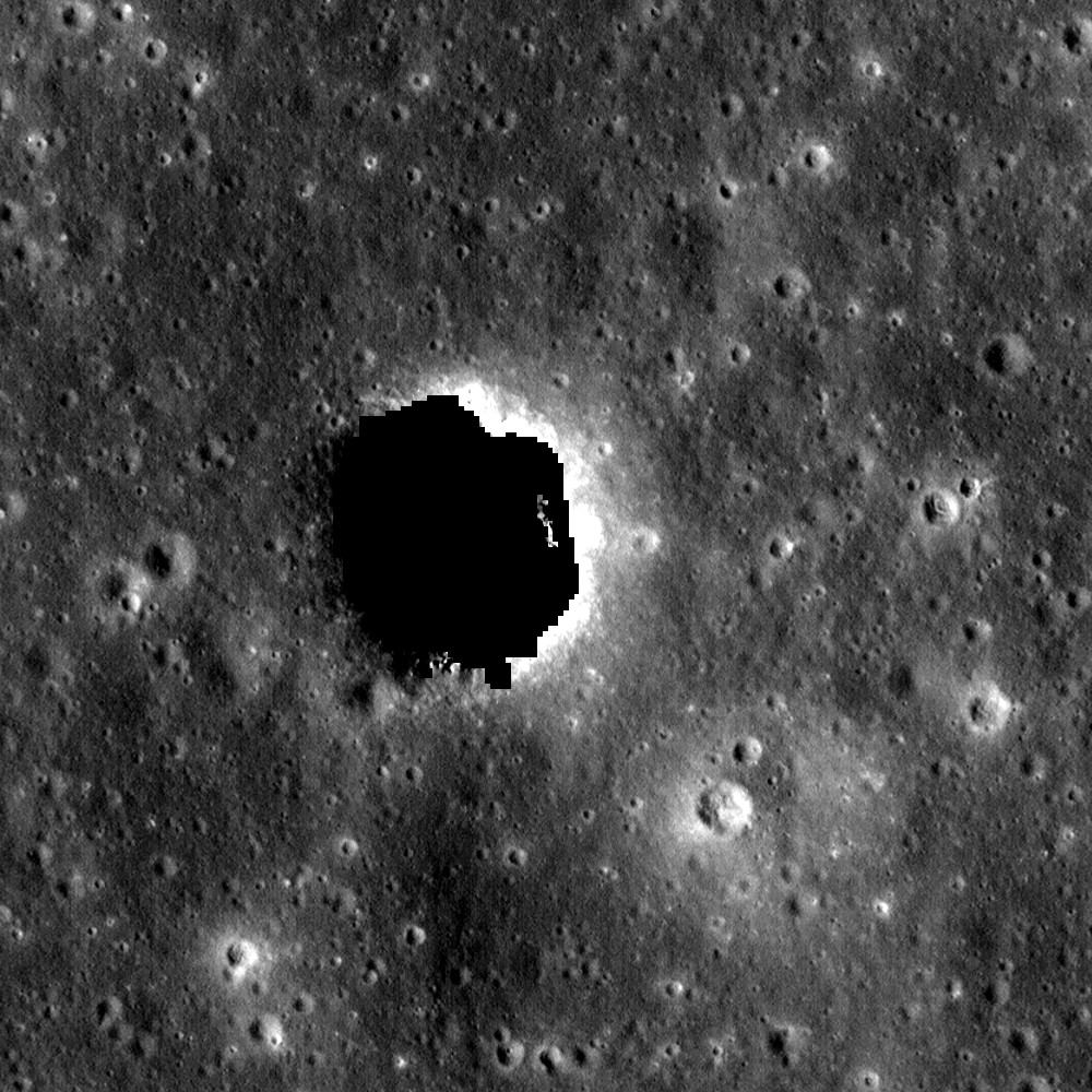
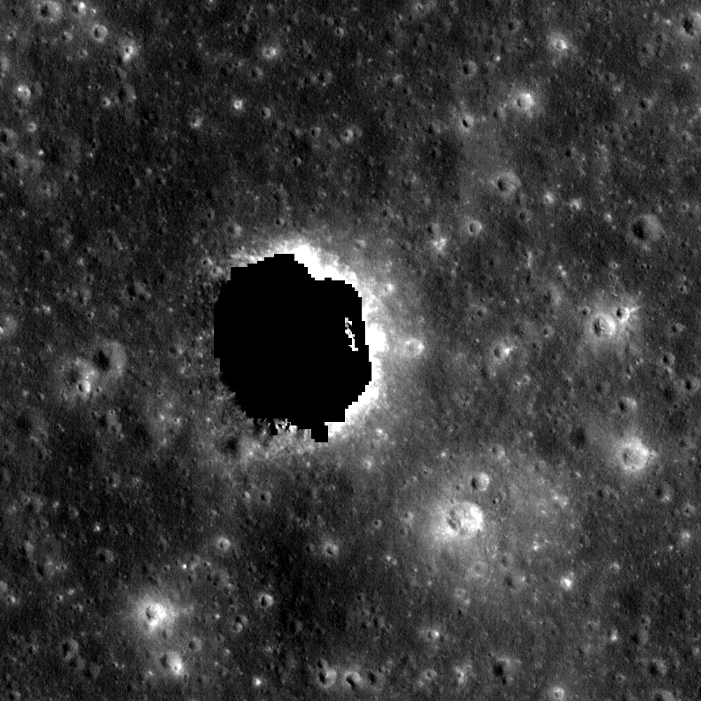
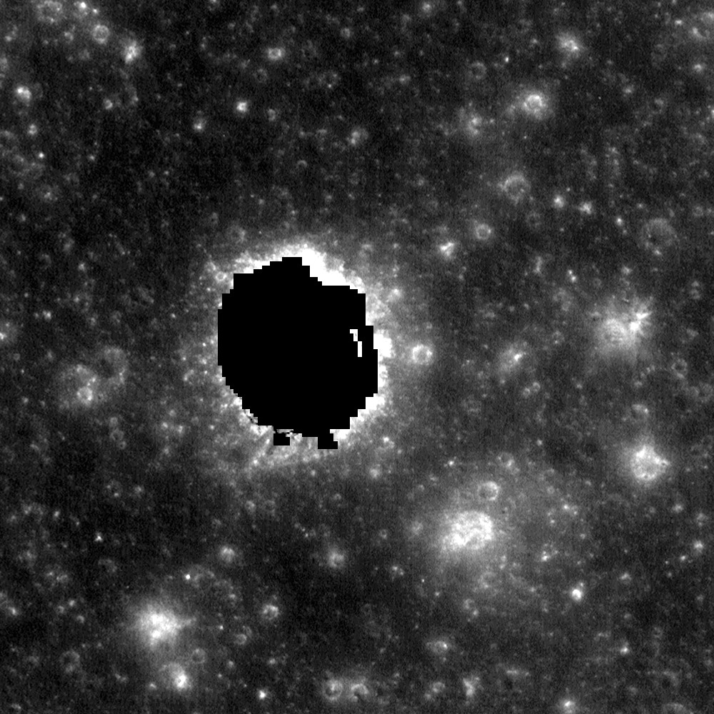
Mare Tranquillitatis pit DTM, whole footprint (NAC_DTM_TRANQPIT1)
samplemoon
Moon, Mare Tranquillitatis, strip 7.91-8.86N 33.17-33.25E; pit at 8.3355N 33.222E · DEM raster (LROC NAC stereo DTM, GeoTIFF float32) + orthoimages · 2 m/post DTM; orthos 0.6-0.7 m (M137332905, M152655237, M152662021, M155016845, M155023632) and 2 m · 4.74 x 28.78 km strip (N-S); 8.6 % no-data (pit interior, strip edges)
mare plaincollapse pit / skylightsmall fresh craters with bright ejectasubdued older craterslow swells
oblique 3Dcolour reliefhillshadephoto
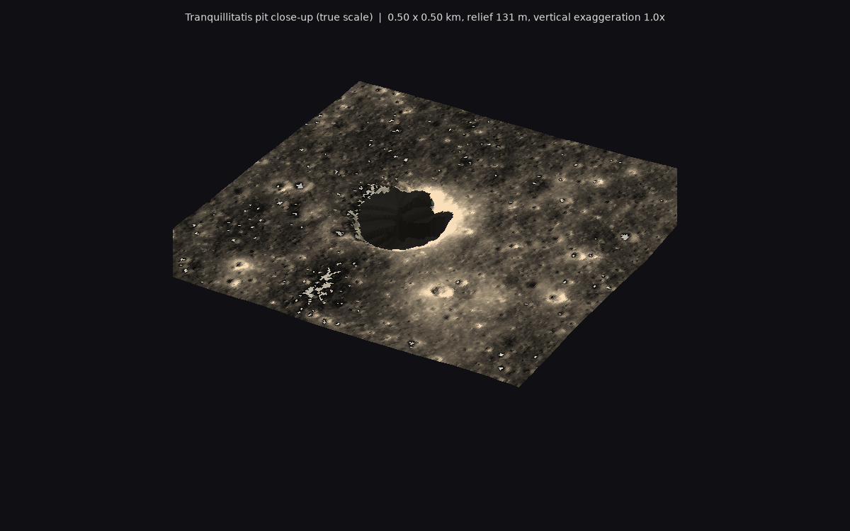
THE landmark source. The whole footprint shows what the 12 km map's core really looks like: a flat mare (172 m total relief over 29 km, mostly a gentle N-S tilt) peppered with 10-300 m craters, a few crisp fresh ones with bright blocky haloes, and the pit sitting on open, unremarkable mare. The strip is only 4.7 km wide, so it gives a real 4.7 x 6 km (or longer) core that must be padded E-W with Kaguya TC. Reused from io-data; not re-downloaded.
Licence: Public domain (LROC PDS products: 'Data products available through the LROC Data Node of the PDS ... are in the public domain'). Credit NASA/GSFC/Arizona State University. · Credit: NASA/GSFC/Arizona State University (LROC); NAC DTMs: Henriksen et al. 2017, Icarus 283, 122-137. NAC_DTM_TRANQPIT1. · DEM 137 MB (local copy [path removed], same file as [path removed]); 0.6 m ortho 380 MB local
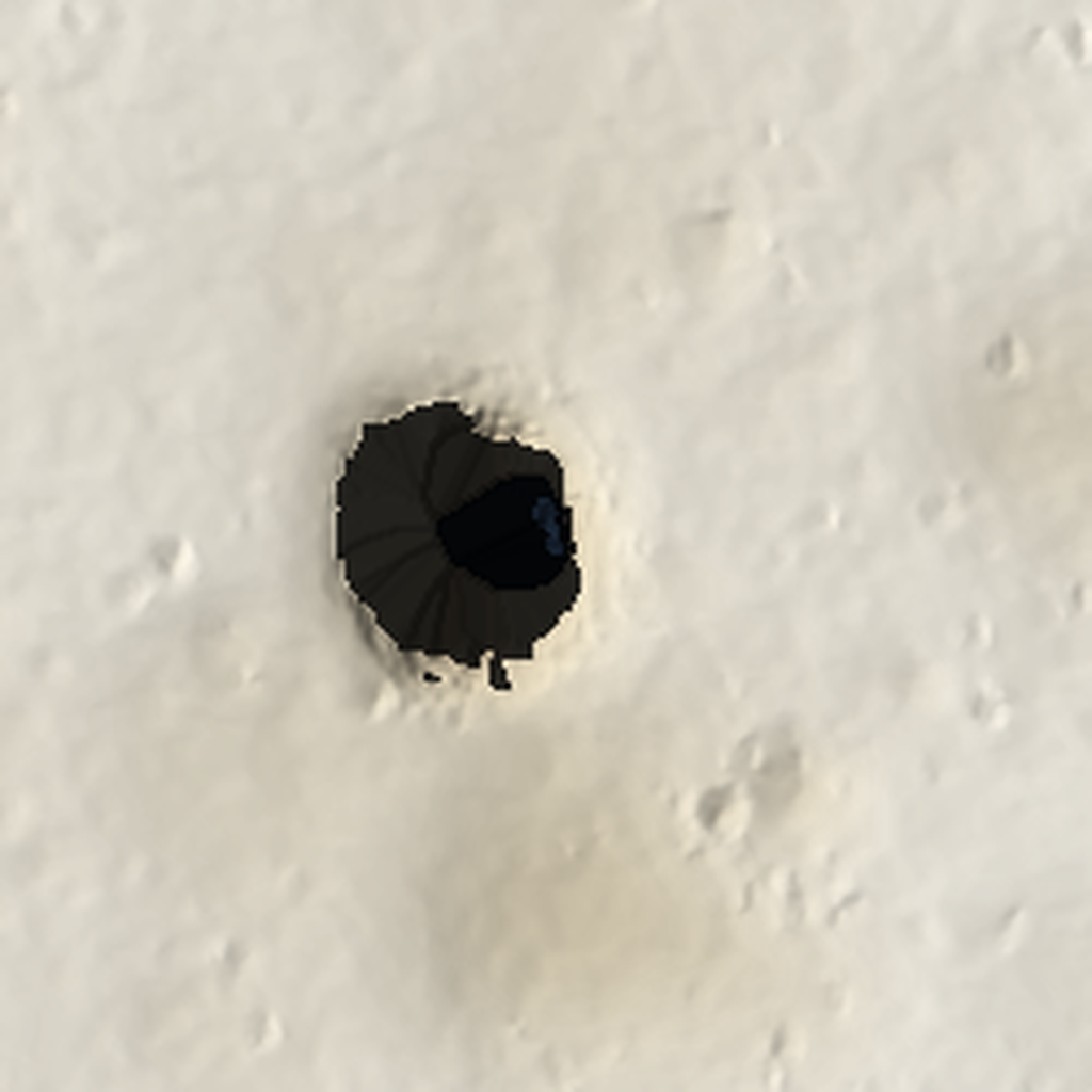
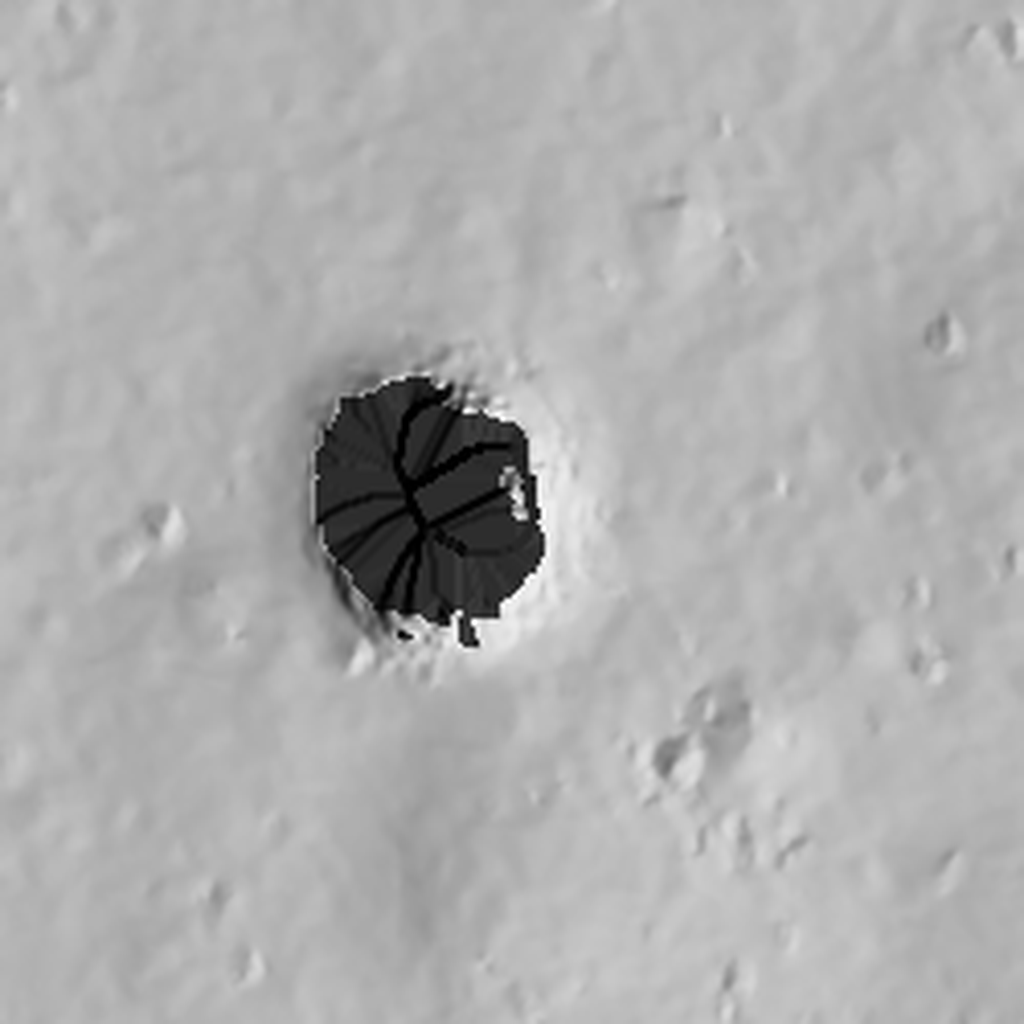
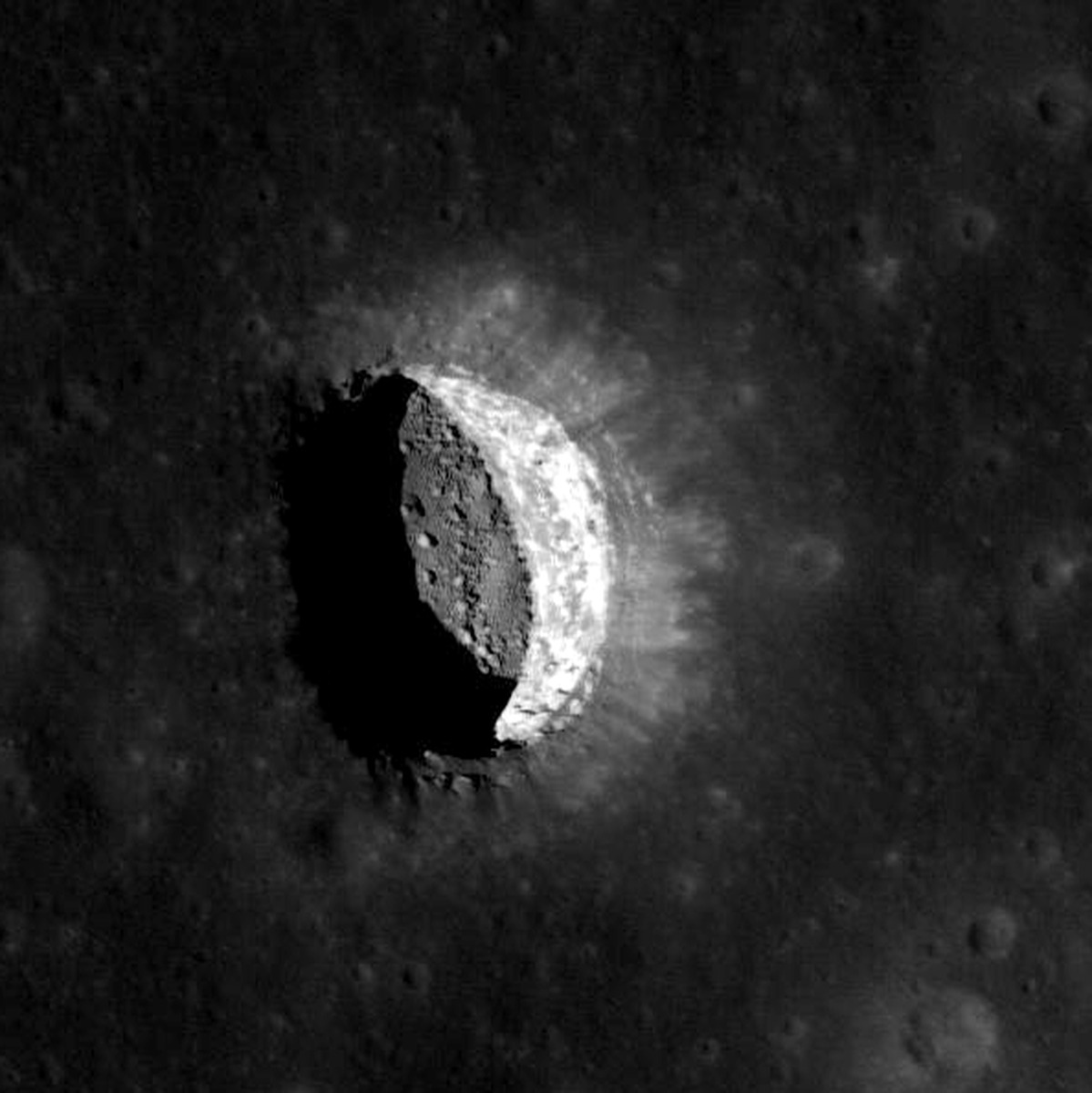
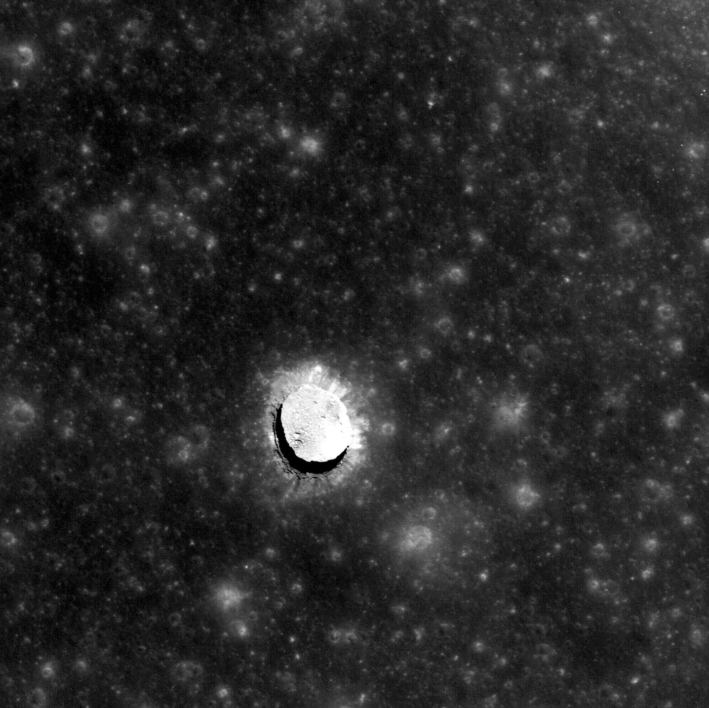
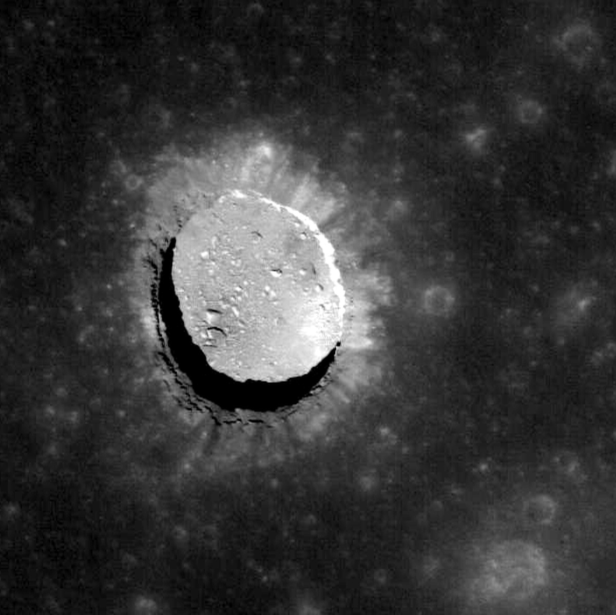
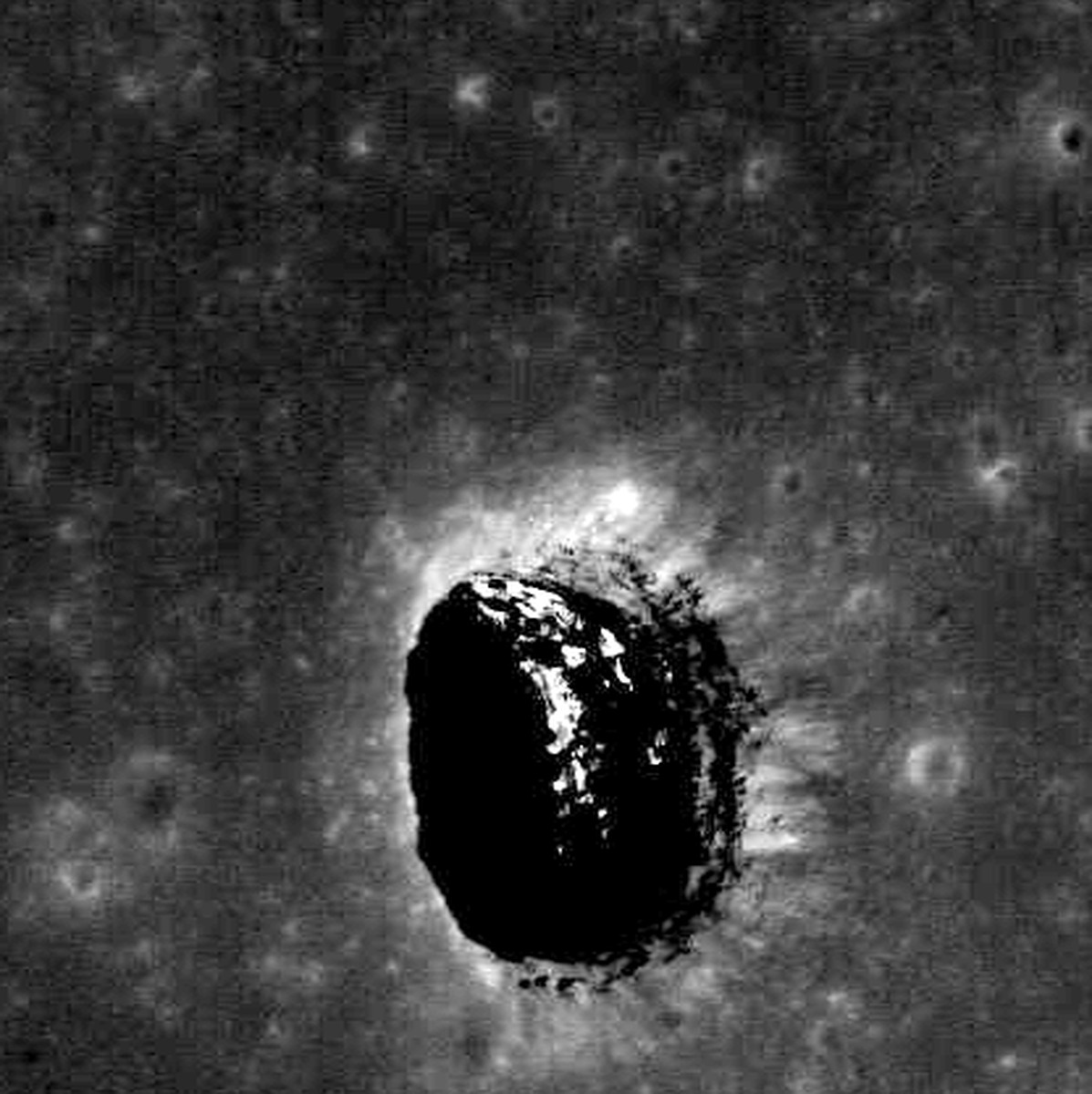
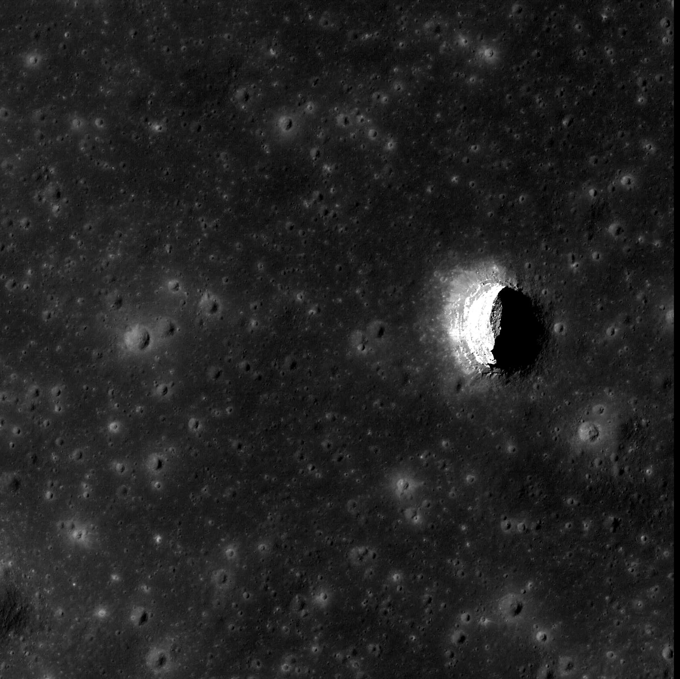
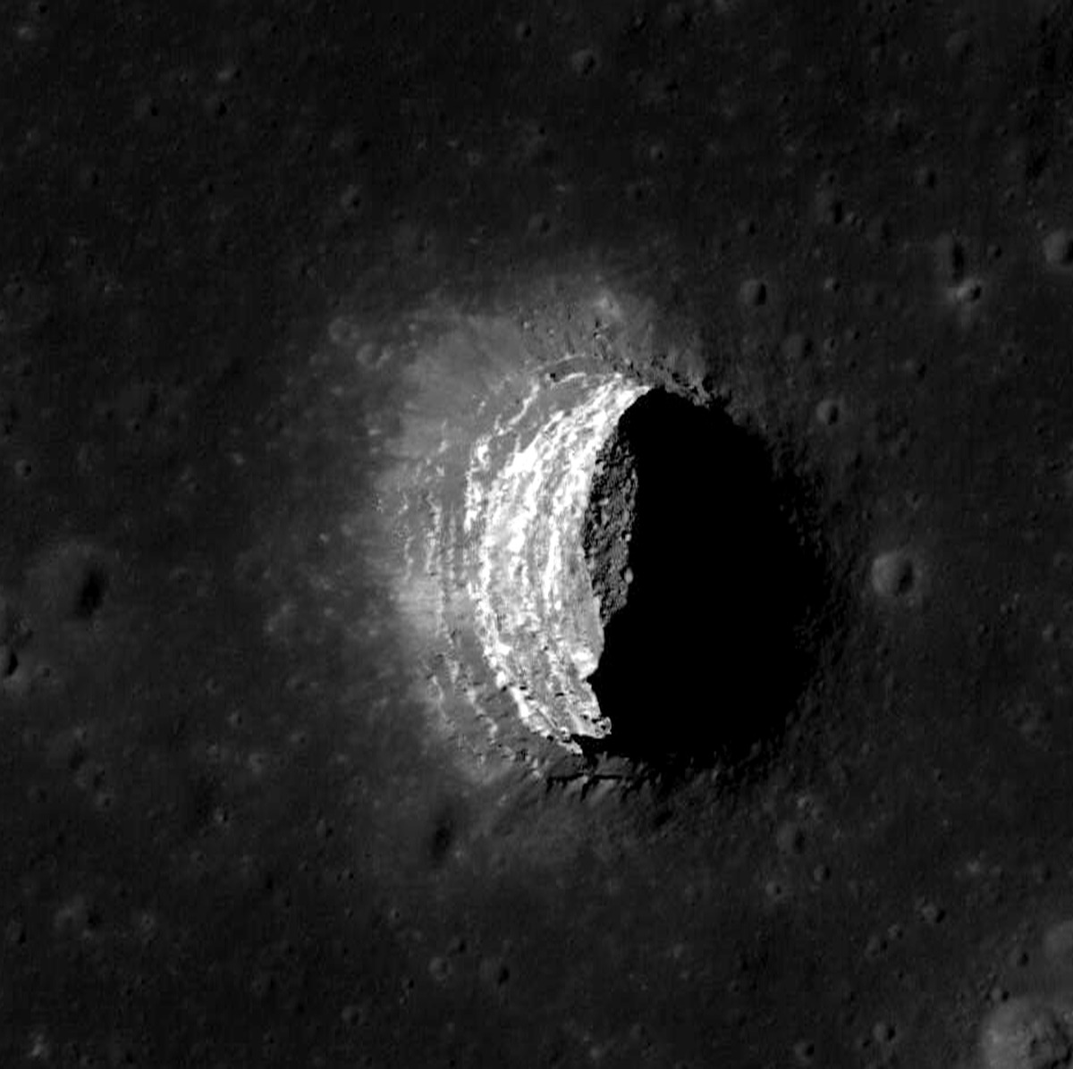
Pit facts (LROC Pits Atlas #3): funnel 140-146 m wide and ~20 m deep, inner pit 88-100 m, floor 105 m below the funnel, vertical walls visible to ~80 m with a recess at ~40 m, overhangs >=10-15 m on E, W and N, a flat boulder-strewn floor, floor sloping down under the E wall. The DTM leaves the interior blank, so walls and floor have to be authored from the photos: M144395745L (50 deg oblique, the famous layered-wall view) and M175057326R (0.43 m, crisp rim and layers) for the wall bands; M155016845R (Sun 10.6 deg from zenith) for the floor boulders; M126710873R for the classic look. ODE lists 85 NAC images of the pit; 6 are used here.
Licence: Public domain (LROC PDS products: 'Data products available through the LROC Data Node of the PDS ... are in the public domain'). Credit NASA/GSFC/Arizona State University. · Credit: NASA/GSFC/Arizona State University (LROC); NAC DTMs: Henriksen et al. 2017, Icarus 283, 122-137. NAC_DTM_TRANQPIT1. · photos are range-read crops (/vsicurl) of the LROC CDR pyramid TIFFs; crops in [path removed] (3-3 MB each)
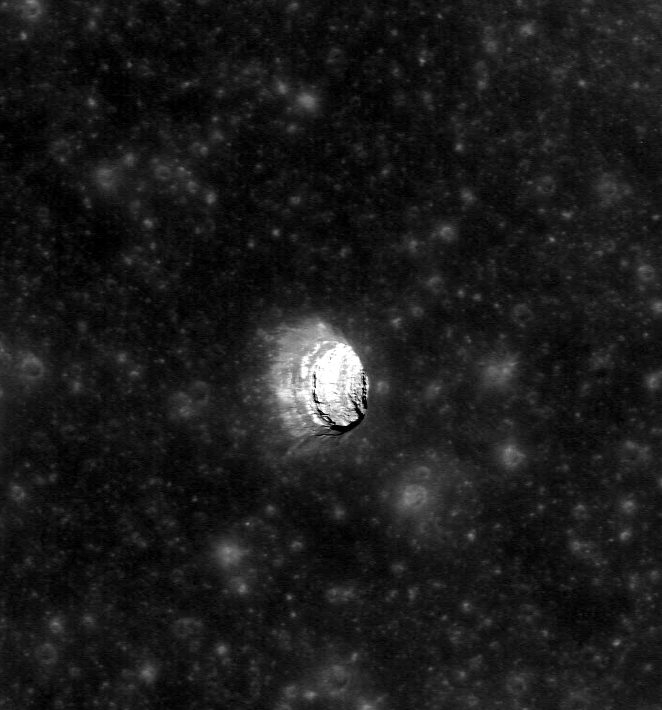
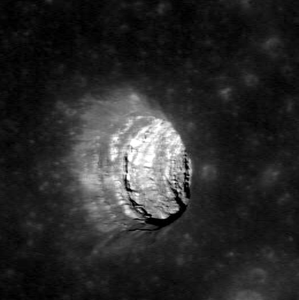
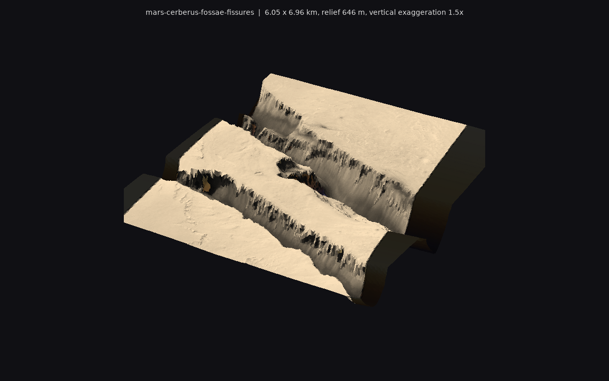
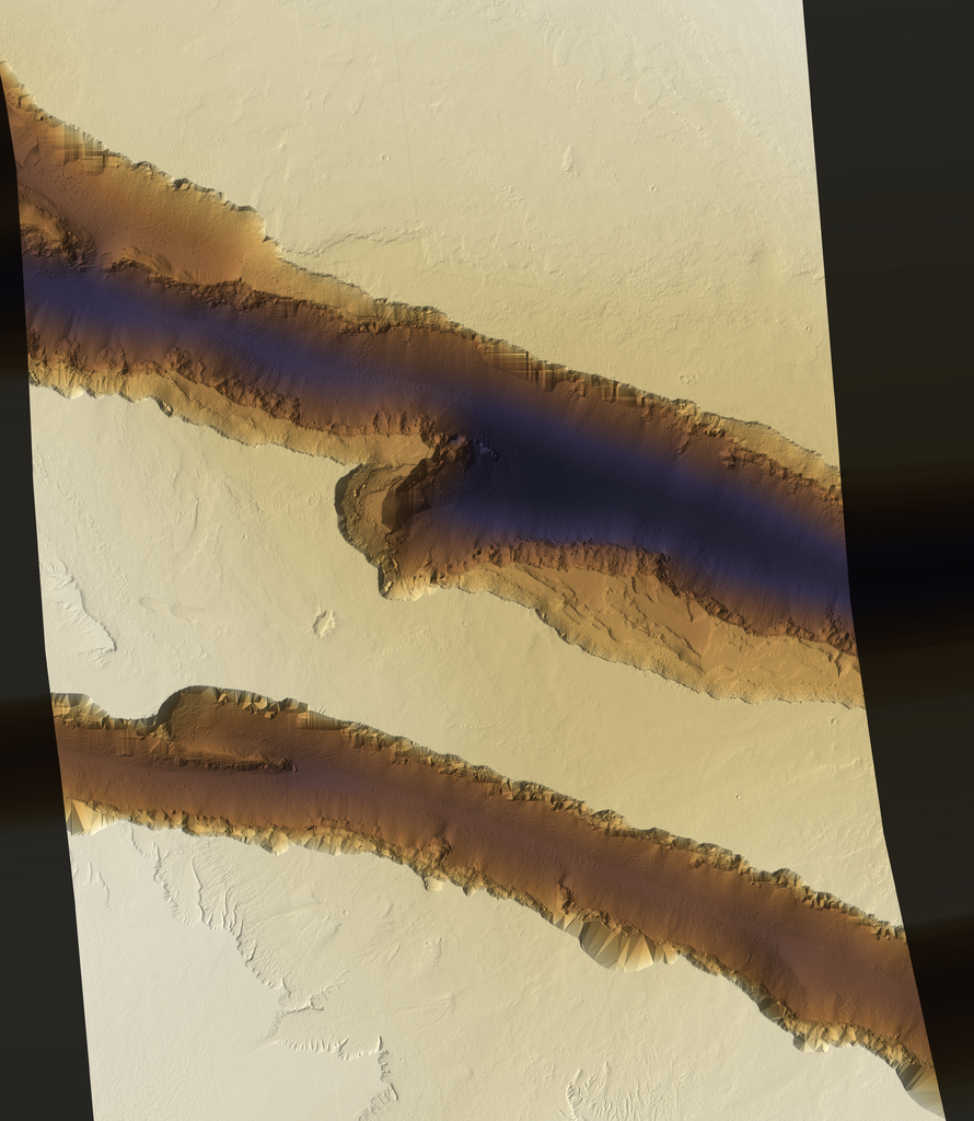
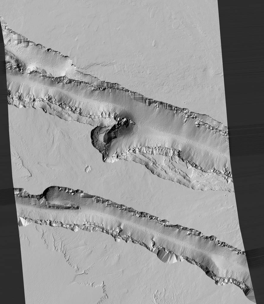
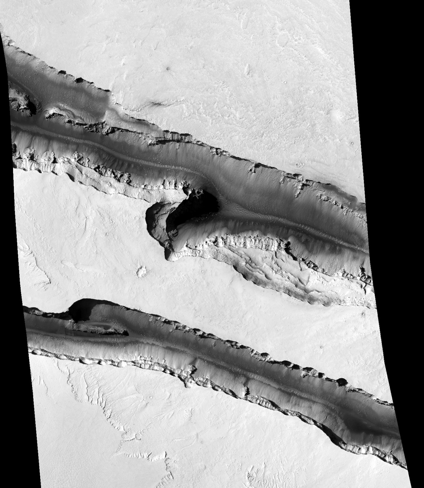
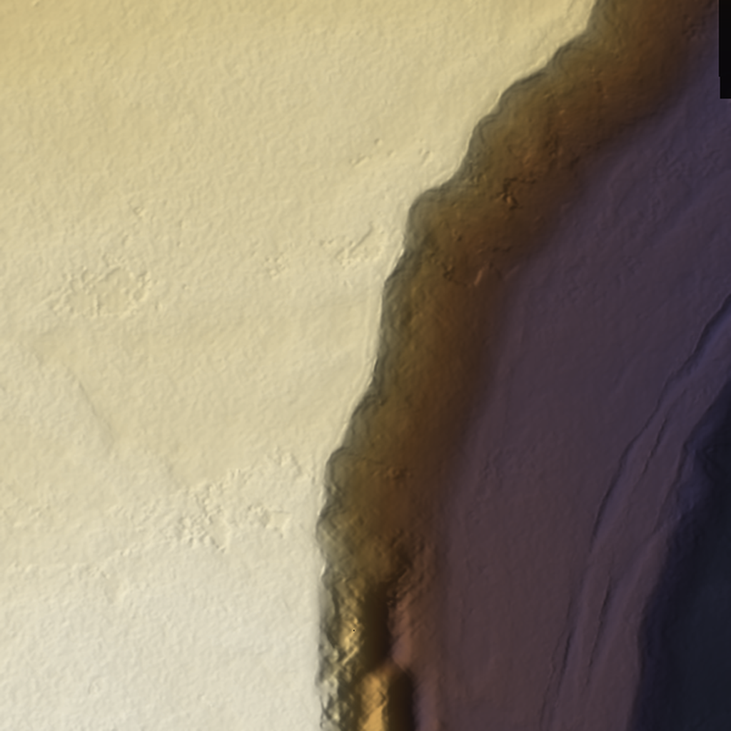
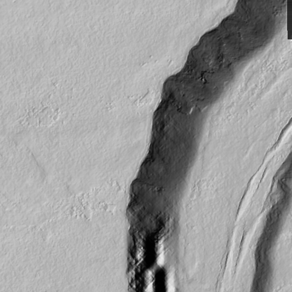
Core of anchor A. Outputs copied unchanged from [path removed] The lower walls are partly TIN-interpolated (triangular facets in shadow), so the walls need kit-bashed modules; the rim cliff band and the trough floors are good.
Licence: Public domain. HiRISE usage policy: 'All of the images produced by HiRISE ... are within the public domain'; credit line requested · Credit: NASA/JPL/University of Arizona (HiRISE); DTM produced by the University of Arizona HiRISE team; COG copy by USGS Astrogeology (analysis-ready data, STAC collection mro_hirise_socet_dtms). DTM DTEEC_009280_1905_009557_1905_A01. · 54 MB crop already in [path removed] (not re-downloaded)
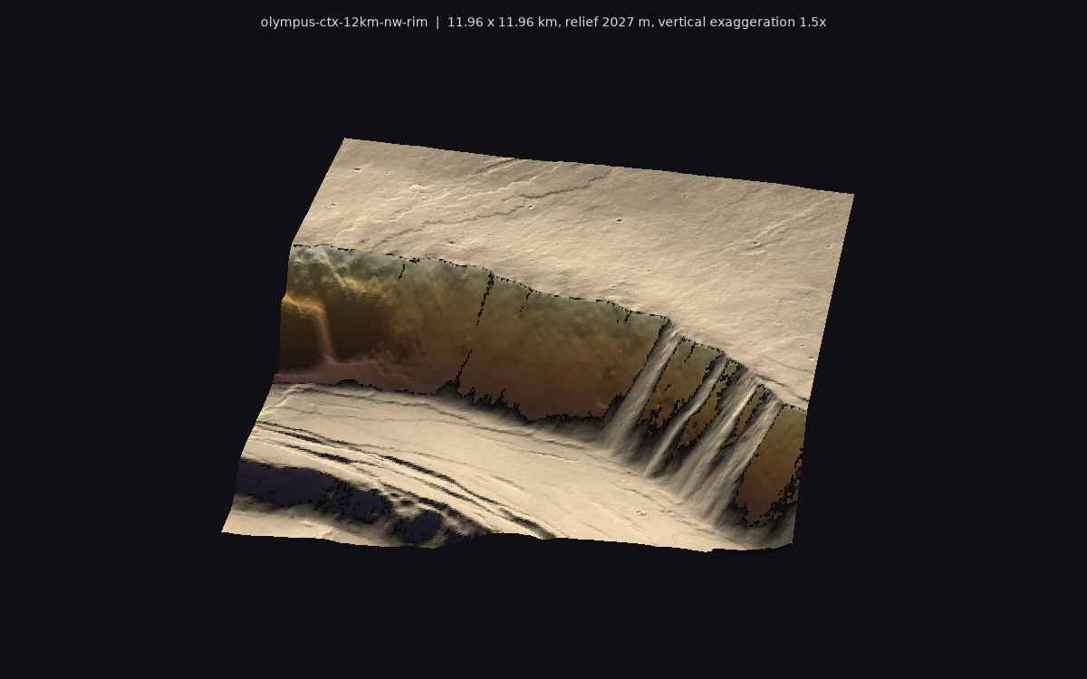
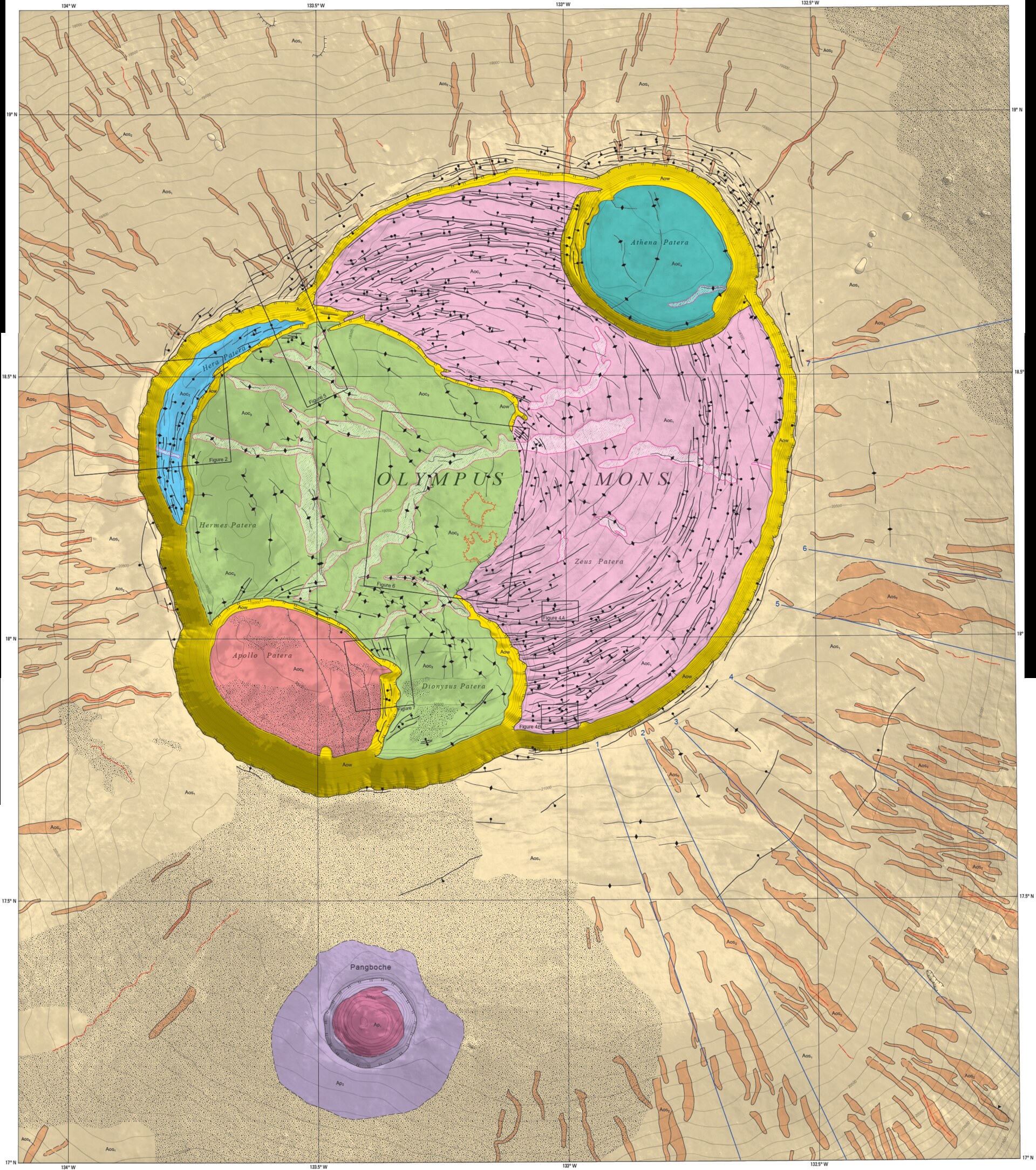
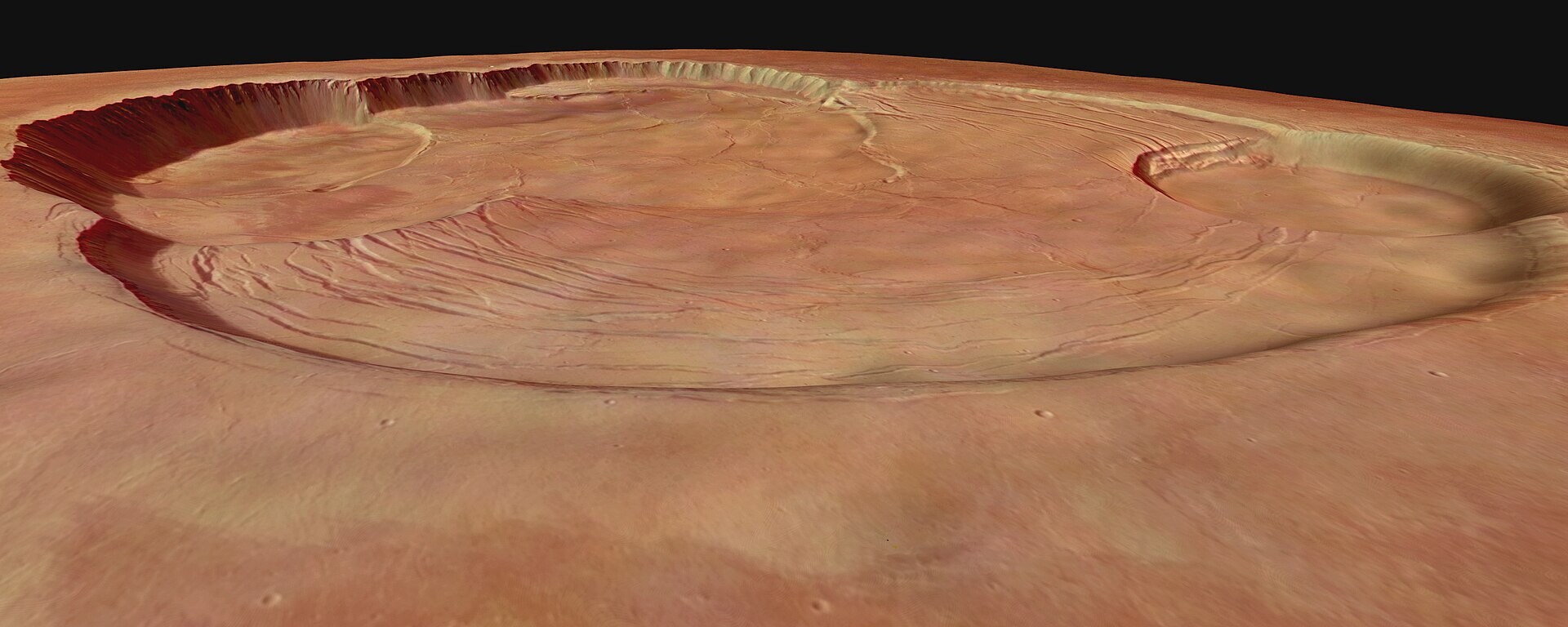
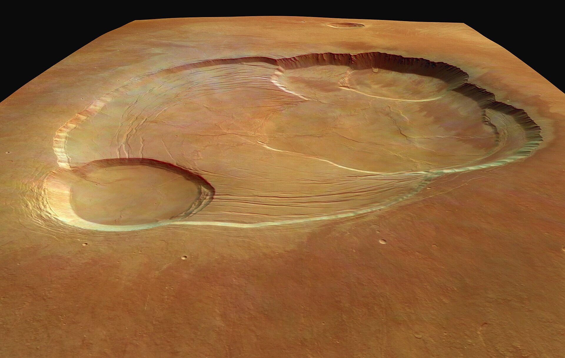
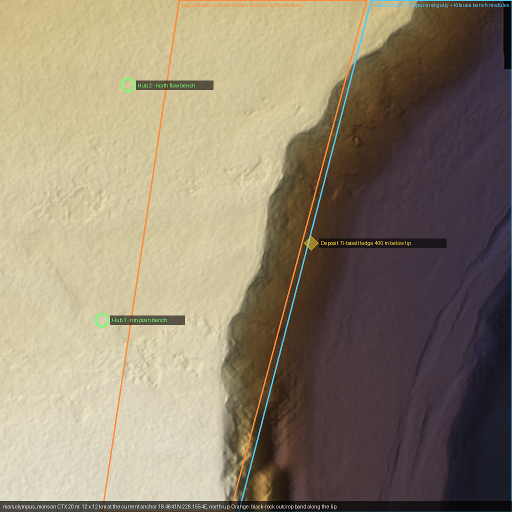
Olympus Mons NW caldera rim, 12 km CTX frame at the current anchor
samplemars-volcanic
Mars, Olympus Mons summit, centre 18.4641N 226.1554E · CTX stereo DTM mosaic (USGS controlled, geoid-adjusted) + CTX orthoimage · 20 m DEM, 5 m ortho resample · 16 x 16 km mosaic, 12 x 12 km sample
caldera wall 1.4-2 kmspur-and-gully wallsummit lava plain with flow lobescollapse terrace with graben/ridges
Real 20 m terrain for the whole map, replacing the MOLA + authored wall: a scalloped wall with regular spur-and-gully buttresses (spacing ~800-1000 m), a sharp lip, the terrace floor in the E with arcuate graben and wrinkle ridges, and the summit plain in the W with low lobate flows and channels. Use CTX as the base and kit-bash the detail. Layout (hubs, ledge) in layout.png keeps the current game layout.
Licence: Public domain (USGS Astrogeology analysis-ready data; CTX images NASA/JPL/MSSS, public domain) · Credit: USGS Astrogeology Science Center, controlled CTX DTMs (ASP-derived, MOLA-controlled) from MRO Context Camera images, NASA/JPL/Malin Space Science Systems; STAC collection mro_ctx_controlled_usgs_dtms. · 18 MB clipped
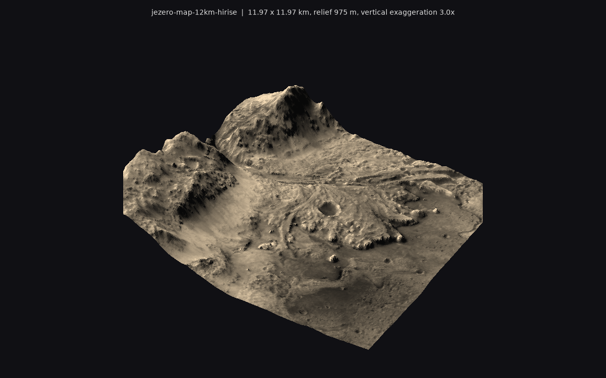
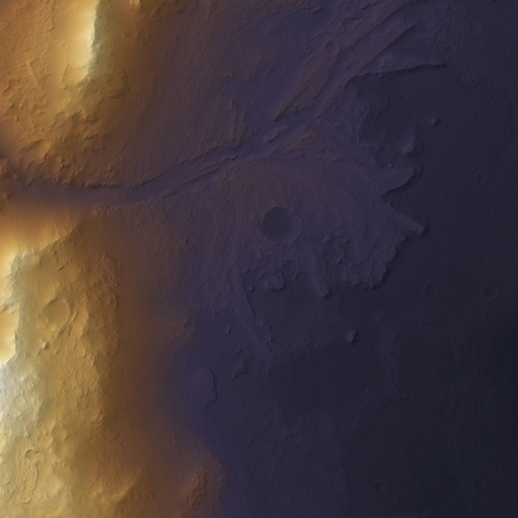
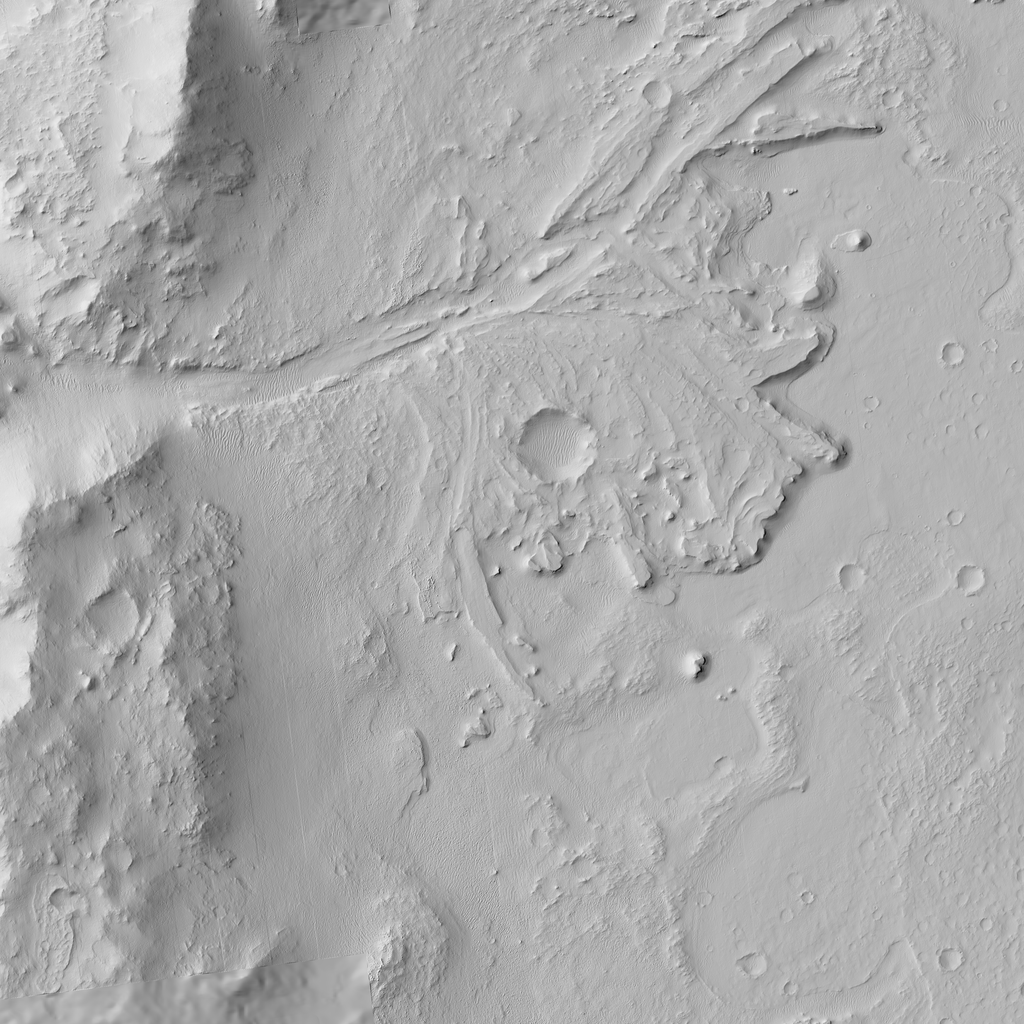
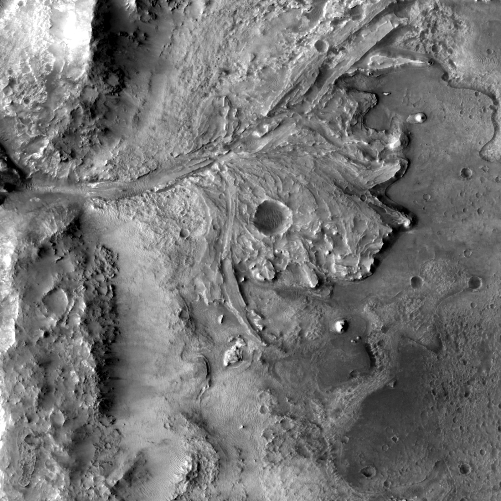
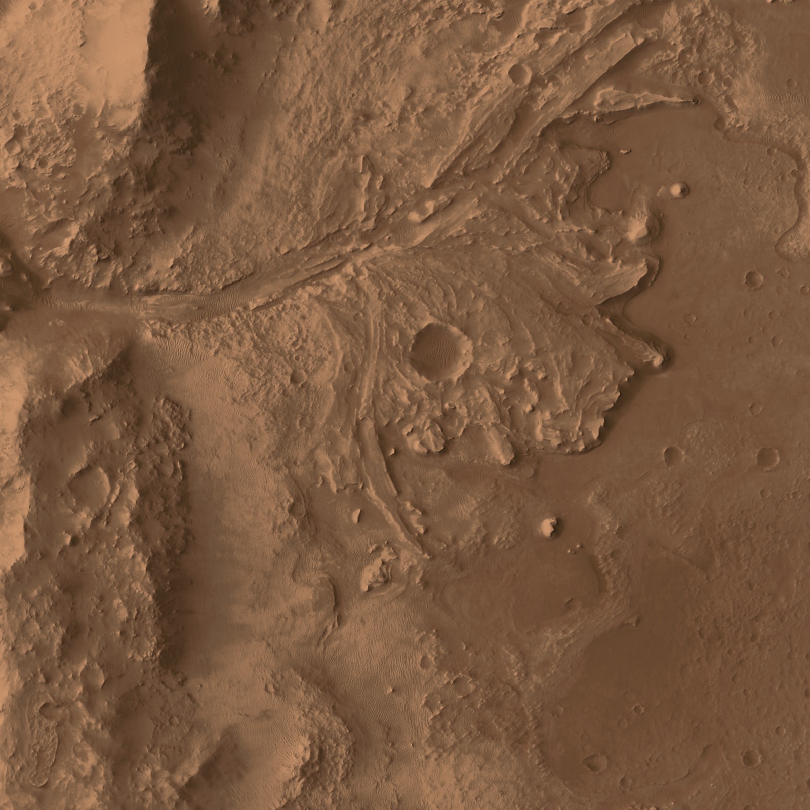
Jezero western delta, full 12 km map from the USGS Mars 2020 HiRISE DTM mosaic
samplemars-jezero-kit
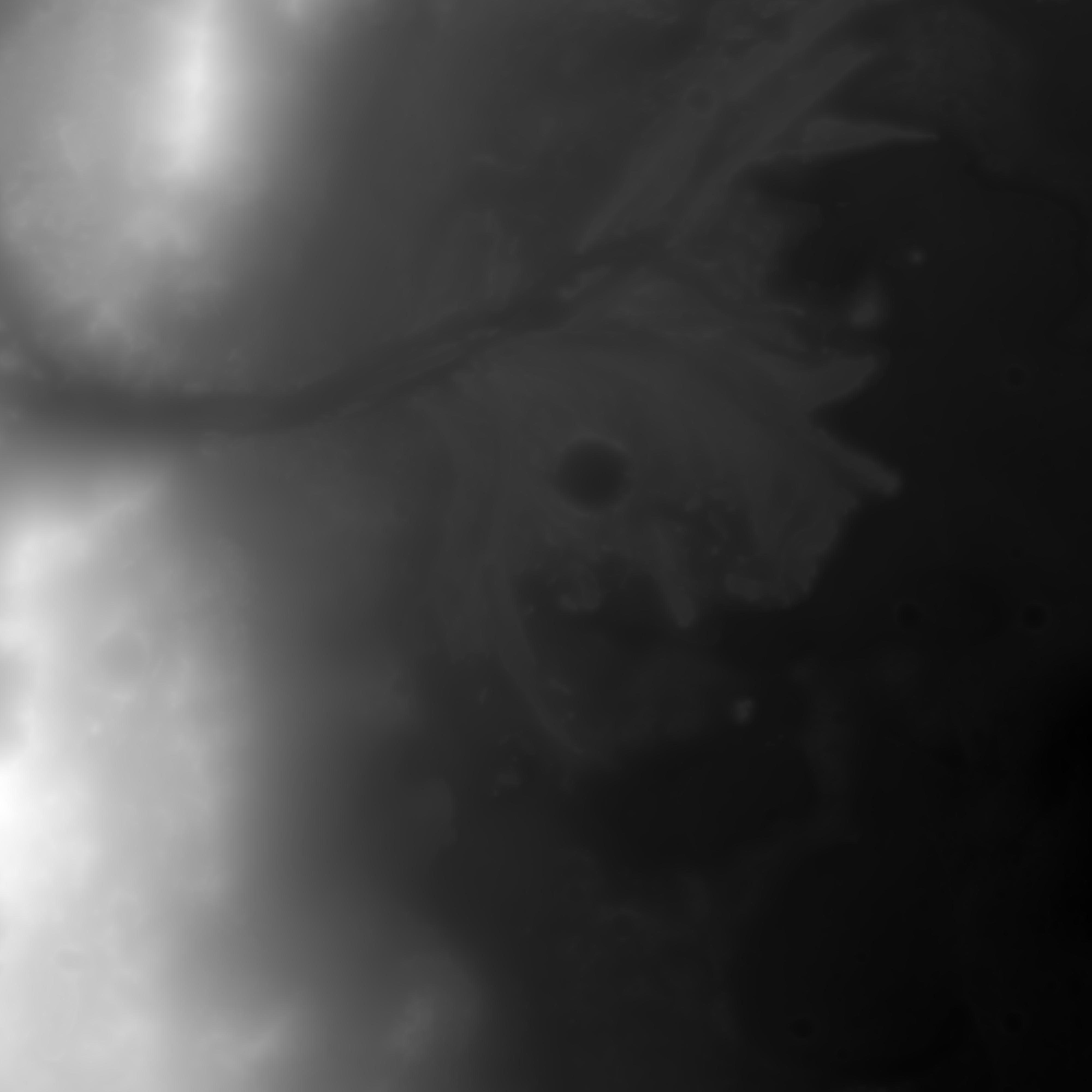
Jezero crater, Mars; centre 18.47N 77.37E (map anchor), -6..6 km in an AEQD frame · HiRISE stereo DTM mosaic (GeoTIFF, Float32), range-read crop · 1 m posting (native); sample at 3 m (4000 px heightmap); 1 m crop kept in work/hirise_map_1m.tif · Mosaic 21.4 x 21.5 km (77.22-77.58E, 18.31-18.67N); covers the whole map. 1.9% gaps filled from the CTX 20 m DEM
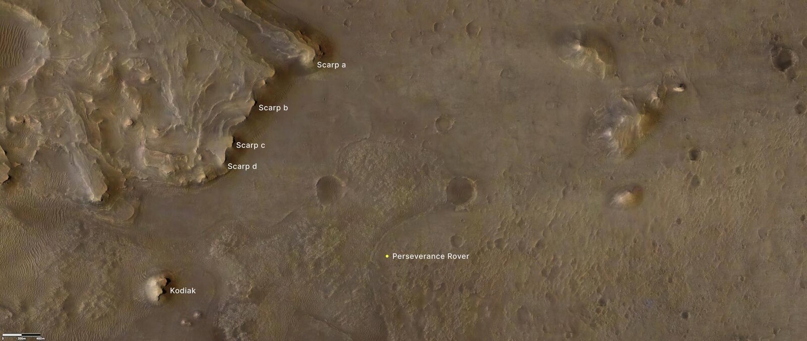
inner rim massifsrim apronNeretva Vallis inletdelta top with channel belts and Belva craterlobate delta front scarpKodiak butteSeitah ridges and ripple fieldsMaaz cratered floor
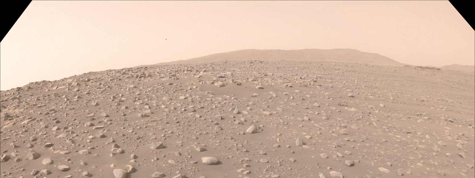
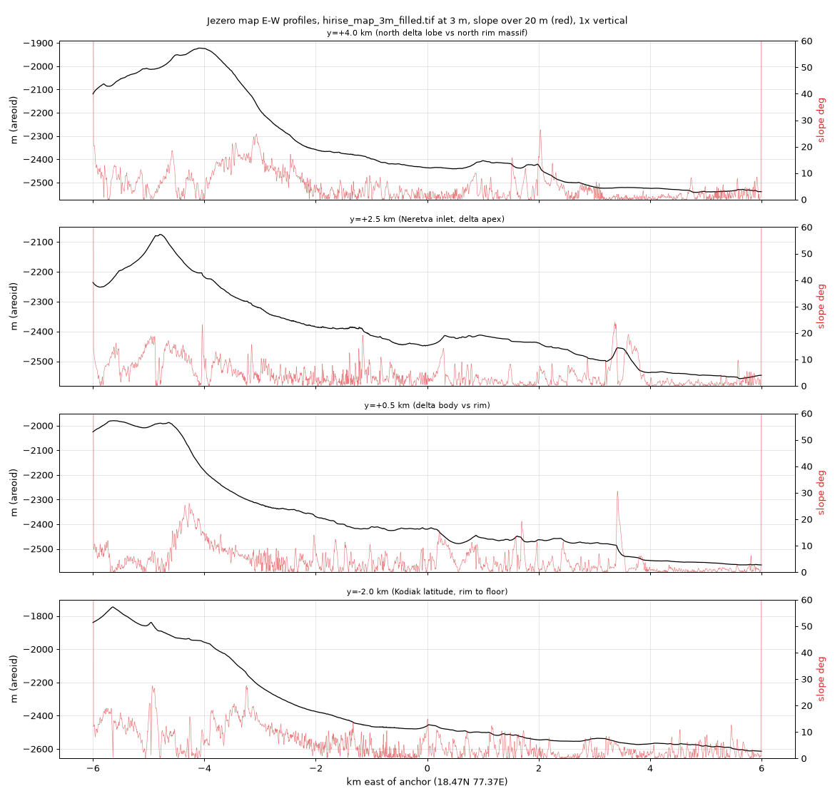
THE base for the map: real 1 m terrain for every unit. Measured: rim crest -1920..-2080 m (local massifs to -1750), floor -2550..-2610 m, delta top -2400..-2490 m. The delta does NOT meet a cliff: the inner rim is a 1.5-2 km concave apron (median 11-12 deg, p99 29 deg at 1 m) and the delta apex merges into it at about -2380 m, i.e. 25-35 % of the rim relief above the floor. The real cliffs are the delta-front scarps (60-80 m) and Kodiak (75 m). See extra-profiles-ew.png. extra-floor-tint-proposal.jpg maps the real CTX albedo onto the measured Mars palette: the floor is mottled warm brown with dark ripple/sand bands and pale Maaz/Seitah outcrops.
Licence: Public domain (USGS / NASA); cite the USGS product · Credit: USGS Astrogeology Science Center: Fergason, R.L., Galuszka, D., Hare, T., Mayer, D., Redding, B., Smith, E. (2020), High-Resolution Imaging Science Experiment (HiRISE) Digital Terrain Model Mosaic for Mars 2020 Terrain Relative Navigation, USGS, https://doi.org/10.5066/P9REJ9JN (product JEZ_hirise_soc_006); HiRISE images NASA/JPL-Caltech/University of Arizona · Full mosaic 1.84 GB uncompressed strip TIFF; map crop 13.4 x 13 km = 222 MB (deflate) in [path removed]